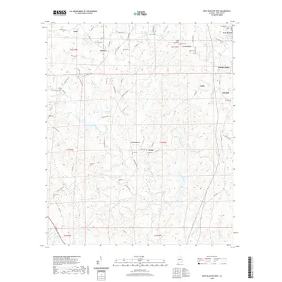
2020 Map of West Blocton West
USGS Topo · Published 2020About this map
Vance and the rural communities of Belchers, Vernontown, and Moffat anchor this detailed landscape in Bibb County. The area is defined by a dense network of watercourses, including the meandering Schultz Creek and its many tributaries like Galloway Branch and Licklog Br. The settlement pattern is largely driven by these drainages and the high ground of Primitive Ridge to the east.
Find a feature on this map
90 named features on this map. Tap any name to fly to it.
Don’t see what you’re looking for? This feature index may not catch every label — zoom into the map to look around manually.
Map Details
Editions of this 2020 West Blocton West Map
This is the sole edition of this map. No revisions or reprints were ever made.
Other maps of this area

1899 · Brookwood
USGS Topo · 1:125,000

1931 · Cottondale
USGS Topo · 1:48,000

1934 · Cottondale
USGS Topo · 1:62,500

1934 · Blocton
USGS Topo · 1:48,000

1940 · Blocton
USGS Topo · 1:62,500

1953 · Montgomery
USGS Topo · 1:250,000

1953 · Birmingham
USGS Topo · 1:250,000

1956 · Birmingham
USGS Topo · 1:250,000

1956 · Montgomery
USGS Topo · 1:250,000

1957 · Birmingham
USGS Topo · 1:250,000