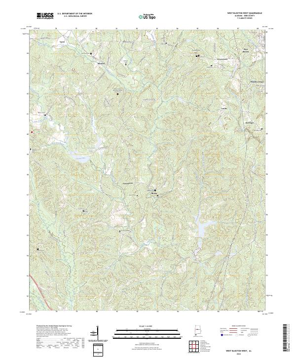
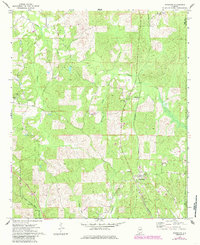
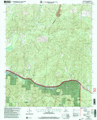
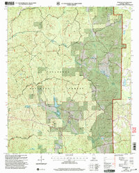
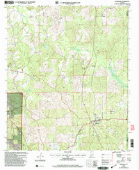
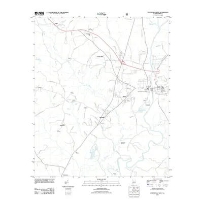
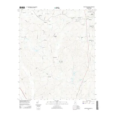
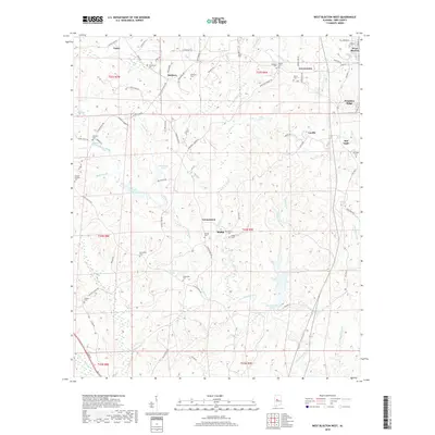
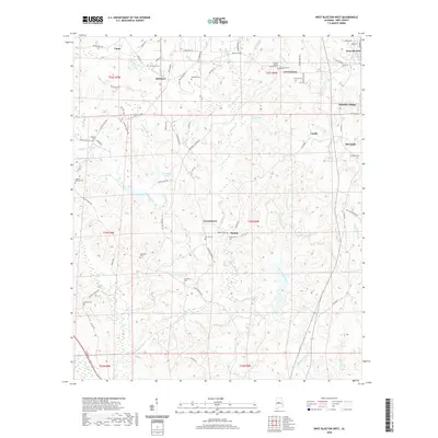
2024 Map of West Blocton West
USGS Topo · Published 2024About this map
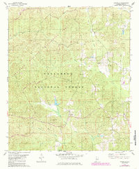
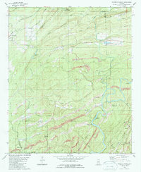
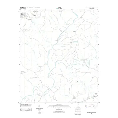
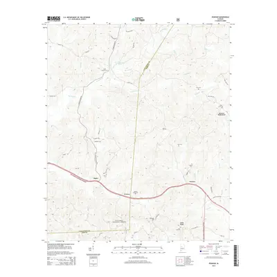
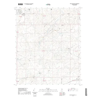
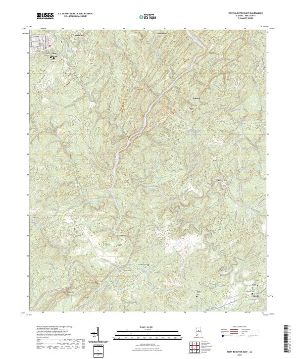
Schultz Creek and its many tributaries, including Licklog Branch and Reed Arm Branch, define the rolling landscape of this rural Bibb County region. Several small communities and named intersections are scattered throughout, from Vernontown and Moffat in the central portion to Lowerytown and Belchers further north. The map is particularly rich in genealogical data, preserving the locations of numerous family-named burial grounds like the Charles-Wesley Stewart Cem, Belchers Cem, and Kinard Cem. Spiritual life is anchored by the Mount Grove Missionary Baptist Church and its adjacent cemetery. In the northeastern corner, the terrain transitions toward Primitive Ridge as the landscape rises above the creek valleys. Many springs, such as Williams Spring and Morris Spring, suggest a long history of local water reliance before modern infrastructure reached these upland settlements.
Find a feature on this map
83 named features on this map. Tap any name to fly to it.
Don’t see what you’re looking for? This feature index may not catch every label — zoom into the map to look around manually.
Map Details
Editions of this 2024 West Blocton West Map
This is the sole edition of this map. No revisions or reprints were ever made.
Historical Maps of Vance Through Time
63 maps found
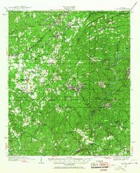
1934 Blocton
Bibb County, AL
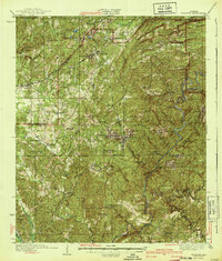
1940 Blocton
Bibb County, AL
1969 Pearson
Bibb County, AL
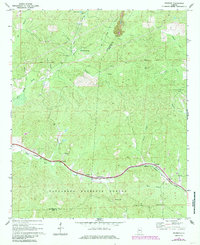
1971 Randolph
Bibb County, AL
1975 Blocton NE
Bibb County, AL
1975 Montevallo SW
Bibb County, AL
1979 Aldrich
Bibb County, AL
1979 Pondville
Bibb County, AL
1979 West Blocton West
Bibb County, AL
1980 Centreville East
Bibb County, AL
1980 Centreville West
Bibb County, AL
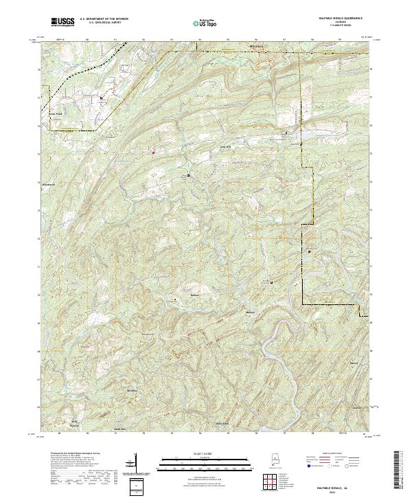
1980 Halfmile Shoals
Bibb County, AL
1980 West Blocton East
Bibb County, AL
2002 Centreville East
Bibb County, AL
2002 Centreville West
Bibb County, AL
2002 Pearson
Bibb County, AL
2002 Pondville
Bibb County, AL
2002 Randolph
Bibb County, AL
2011 Aldrich
Bibb County, AL

2011 Centreville East
Bibb County, AL
2011 Centreville West
Bibb County, AL
2011 Halfmile Shoals
Bibb County, AL
2011 Pearson
Bibb County, AL
2011 Pondville
Bibb County, AL
2011 Randolph
Bibb County, AL
2011 West Blocton East
Bibb County, AL
2011 West Blocton West
Bibb County, AL
2014 Aldrich
Bibb County, AL
2014 Centreville East
Bibb County, AL
2014 Centreville West
Bibb County, AL
2014 Halfmile Shoals
Bibb County, AL
2014 Pearson
Bibb County, AL
2014 Pondville
Bibb County, AL
2014 Randolph
Bibb County, AL
2014 West Blocton East
Bibb County, AL
2014 West Blocton West
Bibb County, AL
2018 Aldrich
Bibb County, AL
2018 Centreville East
Bibb County, AL
2018 Centreville West
Bibb County, AL
2018 Halfmile Shoals
Bibb County, AL
2018 Pearson
Bibb County, AL
2018 Pondville
Bibb County, AL
2018 Randolph
Bibb County, AL
2018 West Blocton East
Bibb County, AL
2018 West Blocton West
Bibb County, AL
2020 Aldrich
Bibb County, AL
2020 Halfmile Shoals
Bibb County, AL
2020 West Blocton East
Bibb County, AL
2020 West Blocton West
Bibb County, AL
2021 Centreville East
Bibb County, AL
2021 Centreville West
Bibb County, AL
2021 Pearson
Bibb County, AL
2021 Pondville
Bibb County, AL

2021 Randolph
Bibb County, AL
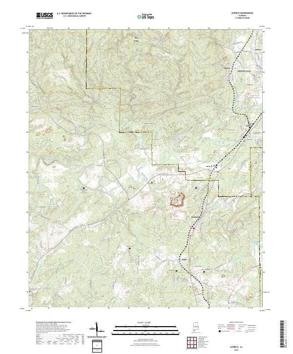
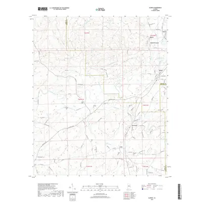
2024 Aldrich
Bibb County, AL
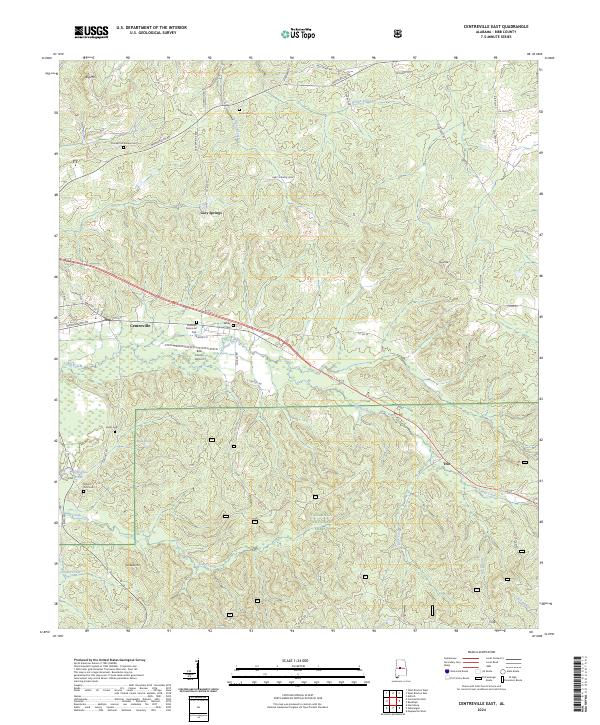
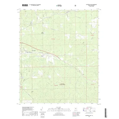
2024 Centreville East
Bibb County, AL
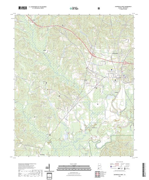
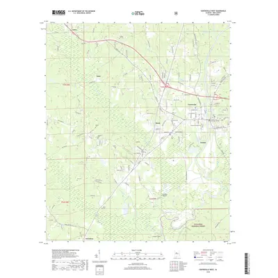
2024 Centreville West
Bibb County, AL
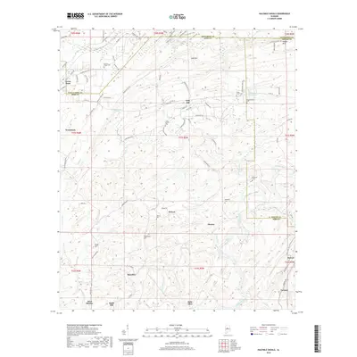
2024 Halfmile Shoals
Bibb County, AL
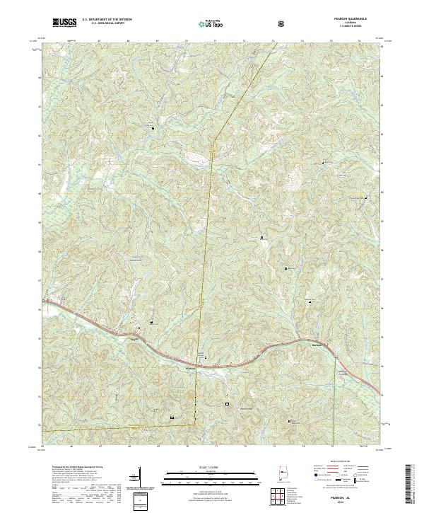
2024 Pearson
Bibb County, AL
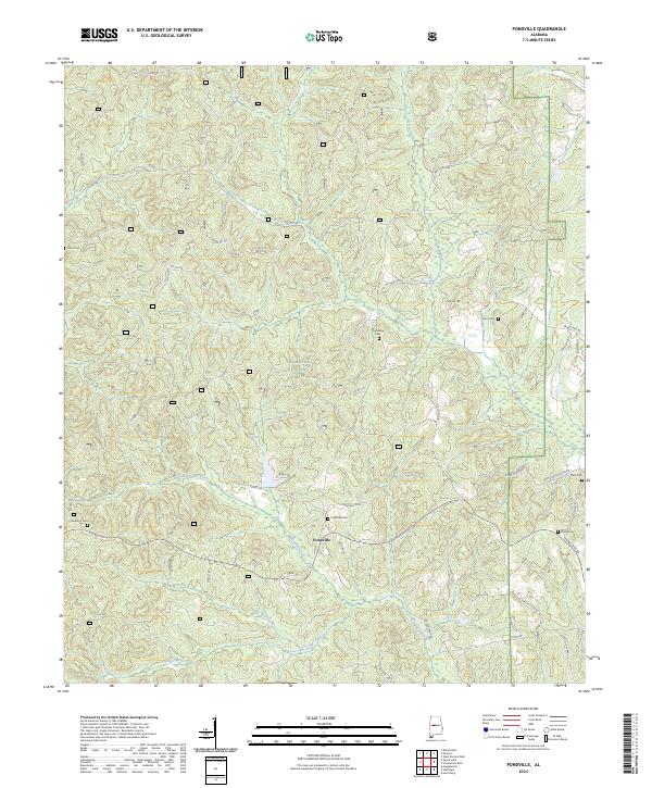
2024 Pondville
Bibb County, AL
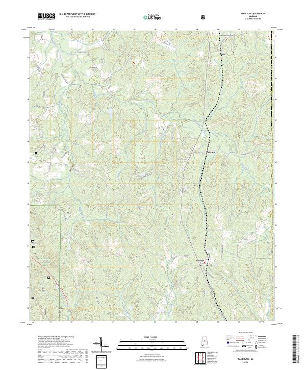
2024 Randolph
Bibb County, AL
2024 West Blocton East
Bibb County, AL
2024 West Blocton West
Bibb County, AL