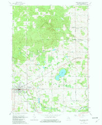
1965 Map of West Branch
USGS Topo · Published 1982About this map
The New York Central railroad corridor anchors the developing town of West Branch in this mid-1960s survey. The community landscape is punctuated by vital local landmarks including Irons Park, a Radio Tower, and the Brookside Cem near the town center. To the northeast, the settlement at Campbells Corners serves as a secondary focal point, surrounded by its namesake Campbells Corners Cem and several active Gravel Pits.
Find a feature on this map
54 named features on this map. Tap any name to fly to it.
Don’t see what you’re looking for? This feature index may not catch every label — zoom into the map to look around manually.
Map Details
Editions of this 1965 West Branch Map
3 editions found
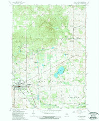
Other maps of this area

1954 · Traverse City
USGS Topo · 1:250,000

1958 · Traverse City
USGS Topo · 1:250,000

1965 · Damon
USGS Topo · 1:24,000

1965 · St. Helen NE
USGS Topo · 1:24,000

1965 · West Branch
USGS Topo · 1:24,000

1965 · Ogemaw Springs
USGS Topo · 1:24,000

1965 · Selkirk
USGS Topo · 1:24,000

1965 · Rose City
USGS Topo · 1:24,000
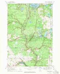
1968 · Skidway Lake
USGS Topo · 1:24,000

1968 · Sterling NW
USGS Topo · 1:24,000
Featured Places
- West Branch, MI
- West Branch Township, MI
- Klacking Township, MI
- Ogemaw Township, MI
- Churchill Township, MI