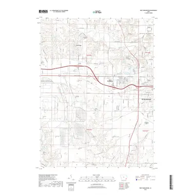
2018 Map of West Burlington
USGS Topo · Published 2018About this map
The transition between the urban sprawl of Burlington and the agrarian landscapes of Des Moines County defines this 2018 survey. While the city provides an industrial and residential core, the surrounding terrain is heavily marked by family and community history, evidenced by a high density of rural burial sites. Genealogists will find interest in localized markers such as the Steingreaber Family Plot, the Mormon Cem, and the Schnupper Farm Cem, which sit alongside established community landmarks like the Burlington Jewish Cem.
Find a feature on this map
135 named features on this map. Tap any name to fly to it.
Don’t see what you’re looking for? This feature index may not catch every label — zoom into the map to look around manually.
Map Details
Editions of this 2018 West Burlington Map
This is the sole edition of this map. No revisions or reprints were ever made.
Other maps of this area

1932 · Lomax
USGS Topo · 1:62,500

1934 · Burlington
USGS Topo · 1:48,000

1936 · Fort Madison
USGS Topo · 1:62,500

1937 · Lomax
USGS Topo · 1:62,500

1940 · Burlington
USGS Topo · 1:62,500

1958 · Burlington
USGS Topo · 1:250,000

1961 · Burlington
USGS Topo · 1:250,000

1963 · Burlington
USGS Topo · 1:250,000
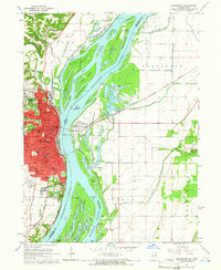
1964 · Burlington
USGS Topo · 1:24,000

1964 · Lomax
USGS Topo · 1:24,000