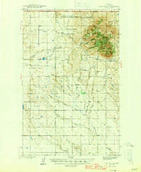
1945 Map of West Butte
USGS Topo · Published 1946About this map
The northern reaches of Toole County meet the Canada United States border in this mid-1940s mapping of the Sweet Grass Hills. Dominating the northeastern quadrant, the prominent mass of West Butte rises above a high-plains landscape defined by seasonal drainages like Willow Creek and Kicking Horse Creek. The area’s cattle-ranching heritage is clearly documented through named homesteads such as the Sweetgrass Hills Ranch, Reverse B Bar X Ranch, and the Bow and Arrow Ranch, many of which were established near vital water sources like Perkins Lake.
Find a feature on this map
35 named features on this map. Tap any name to fly to it.
Don’t see what you’re looking for? This feature index may not catch every label — zoom into the map to look around manually.
Map Details
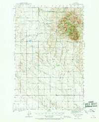
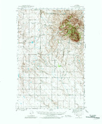
Editions of this 1945 West Butte Map
4 editions found
Other maps of this area

1939 · Sunburst
USGS Topo · 1:62,500

1943 · Antelope Coulee
USGS Topo · 1:62,500

1943 · Shelby
USGS Topo · 1:62,500

1945 · West Butte
USGS Topo · 1:62,500

1954 · Shelby
USGS Topo · 1:250,000

1958 · Shelby
USGS Topo · 1:250,000

1962 · Cameron Lake
USGS Topo · 1:24,000

1962 · Hawthorne School
USGS Topo · 1:24,000

1962 · Fey Lakes
USGS Topo · 1:24,000

1984 · Sweet Grass Hills
USGS Topo · 1:100,000