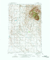
1945 Map of West Butte
USGS Topo · Published 1982About this map
The high, isolated terrain of West Butte dominates this northern Montana landscape, situated just south of the international border where Alberta meets the United States. During the mid-1940s, this region of Toole County was defined by a sparse but established ranching economy, marked by specifically named operations like the Sweetgrass Hills Ranch, Roscoe Ranch, and the Bow and Arrow Ranch. The presence of the McDermott Mine on the eastern slopes of the butte indicates localized resource extraction amidst the grazing lands.
Find a feature on this map
28 named features on this map. Tap any name to fly to it.
Don’t see what you’re looking for? This feature index may not catch every label — zoom into the map to look around manually.
Map Details
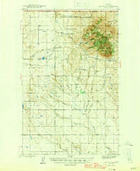
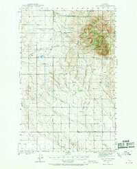
Editions of this 1945 West Butte Map
4 editions found
Other maps of this area

1939 · Sunburst
USGS Topo · 1:62,500

1943 · Antelope Coulee
USGS Topo · 1:62,500

1943 · Shelby
USGS Topo · 1:62,500

1945 · West Butte
USGS Topo · 1:62,500

1954 · Shelby
USGS Topo · 1:250,000

1958 · Shelby
USGS Topo · 1:250,000

1962 · Cameron Lake
USGS Topo · 1:24,000

1962 · Hawthorne School
USGS Topo · 1:24,000

1962 · Fey Lakes
USGS Topo · 1:24,000

1984 · Sweet Grass Hills
USGS Topo · 1:100,000