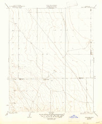
1935 Map of West Camp
USGS Topo · Published 1947About this map
West Camp sits at the heart of this 1930s topographical study, marking a sparse pocket of settlement along the border of Kings and Kern counties. The landscape is defined by its gradual elevation changes and the presence of numerous wells, signaling the essential infrastructure for water management in this arid stretch of the San Joaquin Valley. Surveyed by F.A. Wuopio in 1932, the map documents a precise moment when the region relied on these distributed water sources to sustain its agricultural and camp operations. The grid-like patterns of section lines contrast with the natural contouring, providing a clear record of land division and early 20th-century resource development in a region where water dictated the footprint of human activity.
Find a feature on this map
3 named features on this map. Tap any name to fly to it.
Don’t see what you’re looking for? This feature index may not catch every label — zoom into the map to look around manually.
Map Details
Editions of this 1935 West Camp Map
2 editions found
Other maps of this area

1914 · Lost Hills
USGS Topo · 1:125,000

1930 · Avenal Gap
USGS Topo · 1:31,680

1930 · Middle Dome
USGS Topo · 1:31,680

1931 · Harvester
USGS Topo · 1:31,680

1932 · Dudley Ridge
USGS Topo · 1:31,680

1932 · Antelope Plain
USGS Topo · 1:31,680

1932 · Reynolds Ranch
USGS Topo · 1:31,680

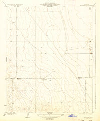
1932 · West Camp
USGS Topo · 1:31,680

1932 · Lone Tree Well
USGS Topo · 1:31,680

1933 · Avenal Gap
USGS Topo · 1:31,680