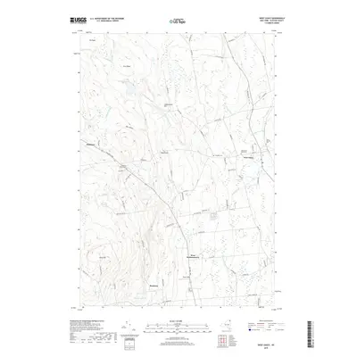
2019 Map of West Chazy
USGS Topo · Published 2019About this map
The Little Chazy River winds through this section of Clinton County, defining a landscape shaped by both glacial history and a long-standing agricultural network. The settlement of West Chazy serves as a primary hub, situated near the West Chazy Rural Cem and Saint Josephs Cem. To the west, the terrain rises toward Rand Hill and Pine Ridge, where more isolated clusters like Robinson are located. This area shows a high density of named family landmarks and rural cemeteries, such as the Robinson District Cem and Douglass Cem, which offer significant value for genealogical research in Northern New York.
Find a feature on this map
68 named features on this map. Tap any name to fly to it.
Don’t see what you’re looking for? This feature index may not catch every label — zoom into the map to look around manually.
Map Details
Editions of this 2019 West Chazy Map
This is the sole edition of this map. No revisions or reprints were ever made.
Other maps of this area

1894 · Plattsburg
USGS Topo · 1:62,500

1895 · Mooers
USGS Topo · 1:62,500

1895 · Rouse Point
USGS Topo · 1:62,500

1899 · Mooers
USGS Topo · 1:62,500

1906 · Plattsburg
USGS Topo · 1:62,500

1907 · Rouse Point
USGS Topo · 1:62,500

1913 · Dannemora
USGS Topo · 1:62,500

1939 · Rouses Point
USGS Topo · 1:62,500

1939 · Plattsburg
USGS Topo · 1:62,500

1941 · Plattsburg
USGS Topo · 1:62,500