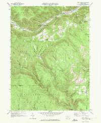
1969 Map of West Creek
USGS Topo · Published 1972About this map
Elk State Forest and State Game Lands No 14 dominate this 1969 topographic portrait of the Pennsylvania Highlands, where the border between Cameron and Elk Counties runs through deep wooded hollows. The valley floor is defined by the Penn Central railroad corridor, connecting small clearings at Truman and Howard Siding along the banks of West Creek. The landscape reveals a complex economy of extraction and recreation, as numerous Gas Wells and active Strip Mines neighbor hunting retreats like Whippoorwill Camp. Genealogists may find interest in the isolated Cem located near the railroad at Truman, while the intricate network of named water bodies, including Gillis Bliss Run and Tanner Hollow Run, illustrates the rugged drainage patterns of the Allegheny Plateau before modern forest management altered these old timberlands.
Find a feature on this map
58 named features on this map. Tap any name to fly to it.
Don’t see what you’re looking for? This feature index may not catch every label — zoom into the map to look around manually.
Map Details
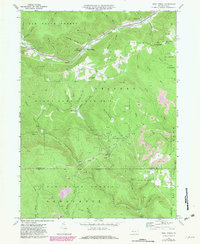
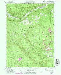
Editions of this 1969 West Creek Map
3 editions found
Other maps of this area

1941 · Benezette
USGS Topo · 1:62,500

1943 · Benezette
USGS Topo · 1:62,500

1945 · Driftwood
USGS Topo · 1:48,000

1945 · Driftwood
USGS Topo · 1:24,000

1945 · Cameron
USGS Topo · 1:24,000

1947 · Cameron
USGS Topo · 1:24,000
1947 · Driftwood
USGS Topo · 1:24,000

1948 · Crosby
USGS Topo · 1:62,500

1948 · Emporium
USGS Topo · 1:62,500

1948 · Emporium
USGS Topo · 1:24,000
Featured Places
- Benezette Township, PA
- Lumber Township, PA
- Shippen Township, PA
- Gibson Township, PA
- West Creek, Shippen Township