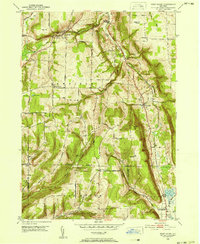
1950 Map of West Danby
USGS Topo · Published 1952About this map
Newfield and the surrounding Finger Lakes uplands appear here in the post-war era, characterized by narrow valleys and prominent glacial hills. The transportation network of the time is anchored by the Lehigh Valley and Michigan Central railroads, which follow the natural contours of the Cayuga Inlet and pass through key points like Newfield Station and Stratton. This 1950 field-checked survey reveals the rural distribution of Tompkins County, where local roads such as Vankirk Road and Pratts Hill Road connect small settlements like Kellogg Corners to the more established hubs of West Danby and North Spencer. Genealogists will find value in the placement of community landmarks including Woodlawn Cem and Siebring Cem, which sit amidst a landscape of steep ridges like Jersey Hill and Key Hill.
Find a feature on this map
44 named features on this map. Tap any name to fly to it.
Don’t see what you’re looking for? This feature index may not catch every label — zoom into the map to look around manually.
Map Details
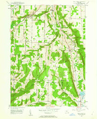
Editions of this 1950 West Danby Map
2 editions found
Other maps of this area

1893 · Ithaca
USGS Topo · 1:62,500

1895 · Ithaca
USGS Topo · 1:62,500

1900 · Dryden
USGS Topo · 1:62,500

1902 · Waverly
USGS Topo · 1:62,500

1903 · Owego
USGS Topo · 1:62,500

1905 · Watkins Glen
USGS Topo · 1:125,000

1906 · Catatonk
USGS Topo · 1:125,000

1949 · Ithaca West
USGS Topo · 1:24,000

1949 · Ithaca East
USGS Topo · 1:24,000

1949 · Willseyville
USGS Topo · 1:24,000