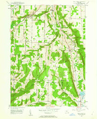
1950 Map of West Danby
USGS Topo · Published 1962About this map
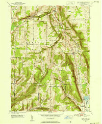
The Lehigh Valley railroad corridor defines the eastern valley of this terrain, following the path of the Cayuga Inlet and connecting the small settlements of West Danby and Stratton. This mid-century survey reveals a rural landscape deeply segmented by high ridges such as Beech Hill and Key Hill, where agriculture and forestry persisted alongside the rail lines. The western portion of the map is marked by the village of Newfield and a network of family-named thoroughfares including Pratts Hill Road and Vankirk Road. Genealogists will find significant value in the documentation of local burial grounds like Woodlawn Cem and the remote Siebring Cem, as well as the concentration of structures at Kellogg Corners. The southern reach of the quadrangle descends toward Spencer Lake, where the railroad tracks pass through North Spencer near the Michigan Hollow drainage.
Find a feature on this map
51 named features on this map. Tap any name to fly to it.
Don’t see what you’re looking for? This feature index may not catch every label — zoom into the map to look around manually.
Map Details
Editions of this 1950 West Danby Map
2 editions found
Other maps of this area

1893 · Ithaca
USGS Topo · 1:62,500

1895 · Ithaca
USGS Topo · 1:62,500

1900 · Dryden
USGS Topo · 1:62,500

1902 · Waverly
USGS Topo · 1:62,500

1903 · Owego
USGS Topo · 1:62,500

1905 · Watkins Glen
USGS Topo · 1:125,000

1906 · Catatonk
USGS Topo · 1:125,000

1949 · Ithaca West
USGS Topo · 1:24,000

1949 · Ithaca East
USGS Topo · 1:24,000

1949 · Willseyville
USGS Topo · 1:24,000