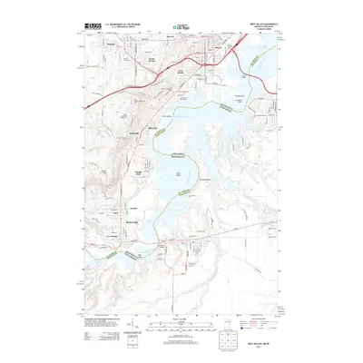
2013 Map of West Duluth
USGS Topo · Published 2013About this map
The Saint Louis River corridor defines the geography of this survey, serving as the industrial and natural boundary between Minnesota and Wisconsin. Several distinct neighborhoods and industrial enclaves line the river’s western bank, from the established residential pockets of West Duluth and Riverside to the planned industrial community of Morgan Park. The map documents the complex infrastructure required to navigate the estuary, including the massive Bong Bridge and the Old Oliver Bridge further south.
Find a feature on this map
96 named features on this map. Tap any name to fly to it.
Don’t see what you’re looking for? This feature index may not catch every label — zoom into the map to look around manually.
Map Details
Editions of this 2013 West Duluth Map
This is the sole edition of this map. No revisions or reprints were ever made.
Other maps of this area

1895 · Duluth
USGS Topo · 1:62,500

1915 · Superior
USGS Topo · 1:48,000

1917 · Superior
USGS Topo · 1:62,500

1953 · Adolph
USGS Topo · 1:24,000

1953 · Duluth
USGS Topo · 1:24,000

1953 · Duluth Heights
USGS Topo · 1:24,000

1953 · Duluth
USGS Topo · 1:62,500

1953 · Duluth
USGS Topo · 1:250,000

1954 · West Duluth
USGS Topo · 1:24,000

1954 · Borea
USGS Topo · 1:24,000