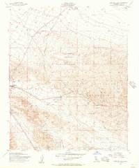
1954 Map of West Elk Hills
USGS Topo · Published 1957About this map
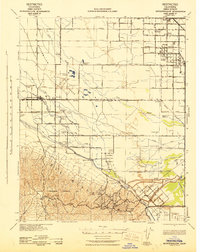
Naval Petroleum Reserve No 1 and Naval Petroleum Reserve No 2 dominate this mid-century industrial landscape in the San Joaquin Valley. The terrain is defined by the energy infrastructure of the 1950s, with extensive networks of oil wells, oil tanks, and a complex pipeline system crossing the Elk Hills. The Southern Pacific railroad follows the contours of the McKittrick Valley, providing a vital link for the region's petroleum industry. The small settlement at Derby Acres sits at the southern edge of this production zone, while the Lokern Pumping Station and various water tanks indicate the logistical requirements of maintaining operations in this arid environment. Hydrology is represented by the Kern R Flood Canal and Buena Vista Creek, which frame the industrial activity occurring between Midway Valley and Buena Vista Valley.
Find a feature on this map
21 named features on this map. Tap any name to fly to it.
Don’t see what you’re looking for? This feature index may not catch every label — zoom into the map to look around manually.
Map Details
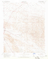
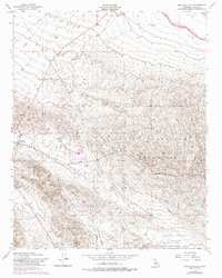
Editions of this 1954 West Elk Hills Map
3 editions found
Other maps of this area

1910 · Buena Vista Lake
USGS Topo · 1:125,000

1912 · McKittrick
USGS Topo · 1:125,000

1912 · Buena Vista Lake
USGS Topo · 1:125,000

1931 · Lokern
USGS Topo · 1:31,680

1932 · West Elk Hills
USGS Topo · 1:31,680

1932 · East Elk Hills
USGS Topo · 1:31,680
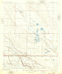
1932 · Buttonwillow
USGS Topo · 1:31,680

1934 · Lokern
USGS Topo · 1:31,680
1942 · Buttonwillow
USGS Topo · 1:62,500
1943 · Belridge
USGS Topo · 1:31,680