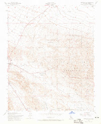
1954 Map of West Elk Hills
USGS Topo · Published 1966About this map
Industrial energy infrastructure dominates this landscape within the Naval Petroleum Reserve No 1, where the complex network of pipelines, Oil Wells, and Oil Sumps reflects the mid-century intensification of California's oil production. The terrain is defined by the broad McKittrick Valley and Midway Valley, providing a corridor for the Southern Pacific railroad and the winding Skyline Road. Settlements like McKittrick and Derby Acres serve as hubs for the surrounding workforce, while landmarks such as the Lokern Pumping Station and various Oil Tanks mark the points of extraction and transport.
Find a feature on this map
18 named features on this map. Tap any name to fly to it.
Don’t see what you’re looking for? This feature index may not catch every label — zoom into the map to look around manually.
Map Details
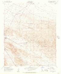
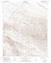
Editions of this 1954 West Elk Hills Map
3 editions found
Other maps of this area

1910 · Buena Vista Lake
USGS Topo · 1:125,000

1912 · McKittrick
USGS Topo · 1:125,000

1912 · Buena Vista Lake
USGS Topo · 1:125,000

1931 · Lokern
USGS Topo · 1:31,680

1932 · West Elk Hills
USGS Topo · 1:31,680

1932 · East Elk Hills
USGS Topo · 1:31,680
1932 · Buttonwillow
USGS Topo · 1:31,680

1934 · Lokern
USGS Topo · 1:31,680
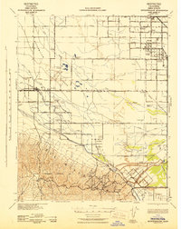
1942 · Buttonwillow
USGS Topo · 1:62,500
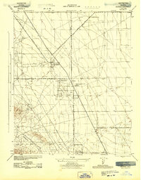
1943 · Belridge
USGS Topo · 1:31,680