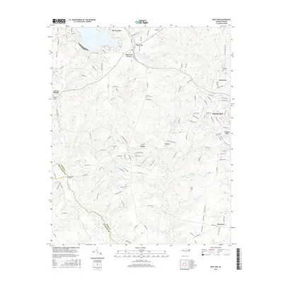
2016 Map of West End
USGS Topo · Published 2016About this map
Jackson Springs and the village of West End serve as focal points for this survey of the Moore County sandhills. The landscape is defined by its transition from agricultural lands to the planned residential developments and golf-oriented geography of Pinehurst and Foxfire. This era shows a complex network of residential roads like Stanley St and Hoffman Rd interwoven with older landmarks, including several family and community burial grounds such as Beaulah Hill Cem and McDonalds Chapel Cem. The hydrology is notable for numerous small reservoirs and winding watercourses, including Lake McKenzie and the southern flow of Drowning Cr along the Richmond County border. Pattersons Bridge marks a specific crossing point near the intersection of several county lines, illustrating the historical transit routes that predated modern highway expansions.
Find a feature on this map
125 named features on this map. Tap any name to fly to it.
Don’t see what you’re looking for? This feature index may not catch every label — zoom into the map to look around manually.
Map Details
Editions of this 2016 West End Map
This is the sole edition of this map. No revisions or reprints were ever made.
Other maps of this area

1942 · Troy
USGS Topo · 1:125,000

1948 · Southern Pines
USGS Topo · 1:62,500

1948 · Pinebluff
USGS Topo · 1:24,000

1949 · Millstone Lake
USGS Topo · 1:24,000

1949 · West End
USGS Topo · 1:24,000

1949 · Hoffman
USGS Topo · 1:24,000

1949 · Jackson Springs
USGS Topo · 1:62,500

1950 · Pine Bluff
USGS Topo · 1:24,000

1950 · Southern Pines
USGS Topo · 1:24,000

1950 · Norman
USGS Topo · 1:24,000