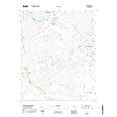
2019 Map of West End
USGS Topo · Published 2019About this map
Seven Lakes and West End serve as the primary hubs in this Moore County landscape, where the Aberdeen and Rockfish RR cuts through the Sandhills region. The map captures a mix of residential growth and long-standing rural landmarks, including the western edge of Pinehurst and the community of Foxfire. Further south and west, the terrain is defined by the headwaters of Drowning Creek and Jackson Creek, which drain toward the county lines of Montgomery and Richmond.
Find a feature on this map
129 named features on this map. Tap any name to fly to it.
Don’t see what you’re looking for? This feature index may not catch every label — zoom into the map to look around manually.
Map Details
Editions of this 2019 West End Map
This is the sole edition of this map. No revisions or reprints were ever made.
Other maps of this area

1942 · Troy
USGS Topo · 1:125,000

1948 · Southern Pines
USGS Topo · 1:62,500

1948 · Pinebluff
USGS Topo · 1:24,000

1949 · Millstone Lake
USGS Topo · 1:24,000

1949 · West End
USGS Topo · 1:24,000

1949 · Hoffman
USGS Topo · 1:24,000

1949 · Jackson Springs
USGS Topo · 1:62,500

1950 · Pine Bluff
USGS Topo · 1:24,000

1950 · Southern Pines
USGS Topo · 1:24,000

1950 · Norman
USGS Topo · 1:24,000