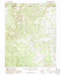
1983 Map of West Fork Rio Brazos
USGS Topo · Published 1986About this map
Osier Mesa and the sweeping high country of Tierra Amarilla dominate this 1980s landscape along the border of Colorado and New Mexico. This region is a complex intersection of administrative and natural boundaries, where the Rio Grande National Forest meets the Carson National Forest. The drainage patterns are defined by the West Fork Rio Brazos, which is fed by numerous tributaries including Arkansas Creek, Apache Creek, and Wolf Creek. At the northern edge, Mesa Lake sits near the tri-county junction of Archuleta, Rio Arriba, and Conejos. This map captures the area as it was surveyed in the late 1970s and early 1980s, documenting a terrain shaped by high-elevation watercourses and the seasonal grazing lands of Brazos Meadows.
Find a feature on this map
18 named features on this map. Tap any name to fly to it.
Don’t see what you’re looking for? This feature index may not catch every label — zoom into the map to look around manually.
Map Details
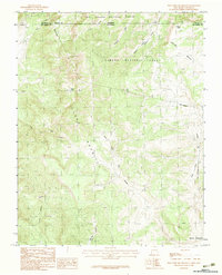
Editions of this 1983 West Fork Rio Brazos Map
2 editions found
Other maps of this area

1913 · Summitville
USGS Topo · 1:125,000

1915 · Summitville
USGS Topo · 1:125,000

1918 · Tusas
USGS Topo · 1:125,000

1922 · Conejos
USGS Topo · 1:125,000

1945 · Durango
USGS Topo · 1:250,000

1953 · Durango
USGS Topo · 1:250,000

1954 · Durango
USGS Topo · 1:250,000

1954 · Aztec
USGS Topo · 1:250,000

1955 · Chama
USGS Topo · 1:62,500

1955 · Brazos Peak
USGS Topo · 1:62,500