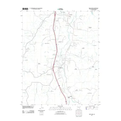
2011 Map of West Fork
USGS Topo · Published 2011About this map
The West Fork White River carves a deep path through the Ozark highlands of Washington County, anchoring a landscape where family history is etched into numerous rural burial grounds. From the Boone Cemetery in the north to the Woolsey Cemetery in the south, these small plots reflect the deep-rooted settlement patterns of the region. The map centers on the town of West Fork, situated between the elevations of West Mountain and Bloyd Mountain, where the river and modern transportation corridors converge.
Find a feature on this map
111 named features on this map. Tap any name to fly to it.
Don’t see what you’re looking for? This feature index may not catch every label — zoom into the map to look around manually.
Map Details
Editions of this 2011 West Fork Map
This is the sole edition of this map. No revisions or reprints were ever made.
Other maps of this area

1898 · Winslow
USGS Topo · 1:125,000

1899 · Fayetteville
USGS Topo · 1:125,000

1901 · Winslow
USGS Topo · 1:125,000

1901 · Fayetteville
USGS Topo · 1:125,000

1904 · Fayetteville
USGS Topo · 1:125,000

1946 · Fort Smith
USGS Topo · 1:250,000

1954 · Tulsa
USGS Topo · 1:250,000

1958 · Fayetteville
USGS Topo · 1:24,000

1958 · Elkins
USGS Topo · 1:24,000

1958 · Tulsa
USGS Topo · 1:250,000