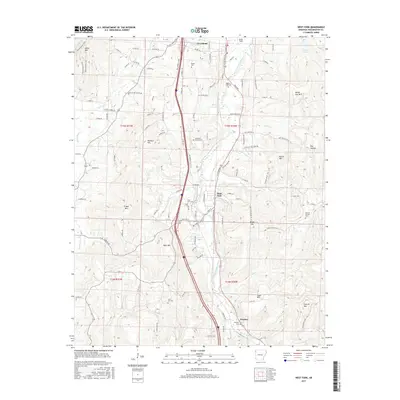
2017 Map of West Fork
USGS Topo · Published 2017About this map
The West Fork White River carves a deep valley through the Ozark landscape, anchoring the settlements of Greenland, West Fork, and Woolsey. This corridor is defined by its collection of ancestral burial grounds, including the Baptist Ford Cem and Campbell Church Cem, which reflect the long-standing community foundations in Washington County. The terrain is notably vertical, with prominent heights like West Mtn, Bloyd Mtn, and Sugar Mtn rising sharply from the riverbanks and creek beds of Hogeye Cr and Mill Cr.
Find a feature on this map
123 named features on this map. Tap any name to fly to it.
Don’t see what you’re looking for? This feature index may not catch every label — zoom into the map to look around manually.
Map Details
Editions of this 2017 West Fork Map
This is the sole edition of this map. No revisions or reprints were ever made.
Other maps of this area

1898 · Winslow
USGS Topo · 1:125,000

1899 · Fayetteville
USGS Topo · 1:125,000

1901 · Winslow
USGS Topo · 1:125,000

1901 · Fayetteville
USGS Topo · 1:125,000

1904 · Fayetteville
USGS Topo · 1:125,000

1946 · Fort Smith
USGS Topo · 1:250,000

1954 · Tulsa
USGS Topo · 1:250,000

1958 · Fayetteville
USGS Topo · 1:24,000

1958 · Elkins
USGS Topo · 1:24,000

1958 · Tulsa
USGS Topo · 1:250,000