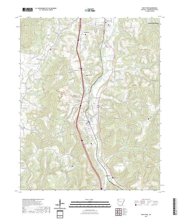
2024 Map of West Fork
USGS Topo · Published 2024About this map
West Fork White River serves as the central corridor for this part of Washington County, tracing a path through the high peaks of the Ozark landscape. The terrain is defined by prominent elevations such as West Mtn, Bloyd Mtn, and Sugar Mtn, which enclose the valley settlements of Greenland, West Fork, and Woolsey. The distribution of family and community burial sites, including Baptist Ford Cem and Karnes Cem, suggests a long-established rural population deeply rooted in these narrow valley floors. Near the northern boundary, the influence of Fayetteville appears with the presence of Drake Field, while the southern reaches remain more agricultural and timber-focused. Transport routes follow the natural topography, with Mcclinton Quarry Rd and various county roads like Co RD 233 connecting scattered homesteads to the primary river-valley thoroughfares.
Find a feature on this map
134 named features on this map. Tap any name to fly to it.
Don’t see what you’re looking for? This feature index may not catch every label — zoom into the map to look around manually.
Map Details
Editions of this 2024 West Fork Map
This is the sole edition of this map. No revisions or reprints were ever made.
Other maps of this area

1898 · Winslow
USGS Topo · 1:125,000

1899 · Fayetteville
USGS Topo · 1:125,000

1901 · Winslow
USGS Topo · 1:125,000

1901 · Fayetteville
USGS Topo · 1:125,000

1904 · Fayetteville
USGS Topo · 1:125,000

1946 · Fort Smith
USGS Topo · 1:250,000

1954 · Tulsa
USGS Topo · 1:250,000

1958 · Fayetteville
USGS Topo · 1:24,000

1958 · Elkins
USGS Topo · 1:24,000

1958 · Tulsa
USGS Topo · 1:250,000