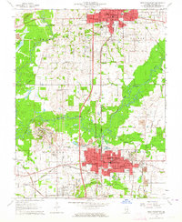
1963 Map of West Frankfort
USGS Topo · Published 1964About this map
West Frankfort and Benton anchor this 1963 survey of Franklin County, Illinois, showcasing an era of heavy rail activity and established mining infrastructure. The landscape is defined by the Big Muddy River and the Middle Fork Big Muddy River, which wind through a network of coal-related features like Air Shafts and tailings piles. The transportation backbone is exceptionally dense, featuring the Illinois Central, Missouri Pacific, and Chicago Burlington and Quincy railroads. Genealogists will find a wealth of data in the numerous burial grounds, ranging from the Lithuanian Cem and Oddfellow Cemetery to the County Farm Cem. Smaller settlements like Orient, Pershing, and Deering City are clearly delineated alongside civic landmarks such as the Drive-in Theater and Radio Tower (WFRX).
Find a feature on this map
68 named features on this map. Tap any name to fly to it.
Don’t see what you’re looking for? This feature index may not catch every label — zoom into the map to look around manually.
Map Details
Editions of this 1963 West Frankfort Map
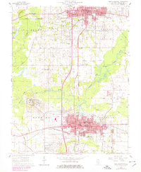
2 editions found
Other maps of this area

1909 · West Frankfort
USGS Topo · 1:62,500

1910 · Herrin
USGS Topo · 1:62,500

1926 · Duquoin
USGS Topo · 1:62,500

1936 · Herrin
USGS Topo · 1:62,500

1939 · Ina
USGS Topo · 1:62,500

1941 · West Frankfort
USGS Topo · 1:62,500

1943 · Ina
USGS Topo · 1:62,500

1949 · Paducah
USGS Topo · 1:250,000

1950 · Paducah
USGS Topo · 1:250,000

1954 · Paducah
USGS Topo · 1:250,000