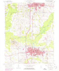
1963 Map of West Frankfort
USGS Topo · Published 1978About this map
The industrial and residential growth of southern Illinois coal country is visible in this landscape anchored by Benton and West Frankfort. The map reveals a dense network of local infrastructure, including several Air Shaft locations and the Frankfort Oil Field, illustrating the area's reliance on mineral extraction. Educational and religious centers like Hill City Sch, Washington Sch, and Bethel Ch are scattered among the townships of Browning, Denning, and Frankfort.
Find a feature on this map
70 named features on this map. Tap any name to fly to it.
Don’t see what you’re looking for? This feature index may not catch every label — zoom into the map to look around manually.
Map Details
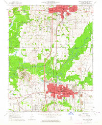
Editions of this 1963 West Frankfort Map
2 editions found
Other maps of this area

1909 · West Frankfort
USGS Topo · 1:62,500

1910 · Herrin
USGS Topo · 1:62,500

1926 · Duquoin
USGS Topo · 1:62,500

1936 · Herrin
USGS Topo · 1:62,500

1939 · Ina
USGS Topo · 1:62,500

1941 · West Frankfort
USGS Topo · 1:62,500

1943 · Ina
USGS Topo · 1:62,500

1949 · Paducah
USGS Topo · 1:250,000

1950 · Paducah
USGS Topo · 1:250,000

1954 · Paducah
USGS Topo · 1:250,000