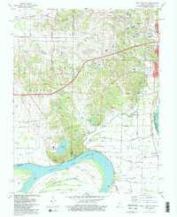
1981 Map of West Franklin
USGS Topo · Published 1981About this map
The Ohio River defines the southern boundary of this landscape, where the state line between Indiana and Kentucky follows the 1912 low waterline. Along the river's northern banks, industrial and educational growth is evident, anchored by the Indiana University (Evansville) campus and a large powerplant near the Industrial Waste Pond. This area in southwestern Vanderburgh County transitions from the suburban edges of Evansville at Red Bank to the agricultural reaches of Posey County. Established rural communities like St Philip and Heusler are centered around local landmarks such as St Pauls Cem & Ch. The terrain is marked by a complex network of wetlands and seasonal water bodies south of the main channel, including Cypress Slough and Big Pond, which surround the large Diamond Island landmass in the river's bend.
Find a feature on this map
53 named features on this map. Tap any name to fly to it.
Don’t see what you’re looking for? This feature index may not catch every label — zoom into the map to look around manually.
Map Details
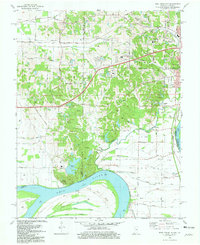
Editions of this 1981 West Franklin Map
2 editions found
Other maps of this area

1901 · Haubstadt
USGS Topo · 1:62,500

1903 · Haubstadt
USGS Topo · 1:62,500

1903 · New Harmony
USGS Topo · 1:62,500

1903 · Patoka
USGS Topo · 1:125,000

1914 · Henderson
USGS Topo · 1:48,000

1916 · Henderson
USGS Topo · 1:62,500

1917 · Uniontown
USGS Topo · 1:62,500

1938 · New Harmony
USGS Topo · 1:62,500

1952 · Evansville
USGS Topo · 1:24,000
1952 · Henderson
USGS Topo · 1:24,000