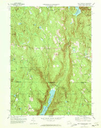
1971 Map of West Granville
USGS Topo · Published 1973About this map
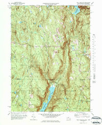
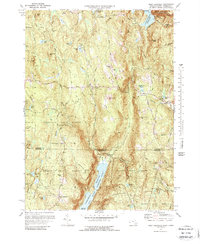
Granville State Forest and Tunxis State Forest dominate this landscape along the Massachusetts and Connecticut border, where the Farmington River Reservoir and Barkhamsted East Branch carve through the steep terrain. The 1970s landscape is punctuated by numerous family-named peaks including Winchell Mtn, Sweetman Mtn, and Bad Luck Mtn, reflecting the area's rural history. Small settlements like West Granville and Granville Center are mapped in detail, showing their proximity to landmarks such as Woodland Cem and the Main Landing Strip. Further south, the map reaches into Litchfield County with West Hartland and Howells Pond, illustrating the hydraulic connections between the high country and the major reservoirs that serve the region. The map captures an era of preserved wilderness and managed water resources, documented through labels like the Gaging Sta and Borden Brook Reservoir.
Find a feature on this map
73 named features on this map. Tap any name to fly to it.
Don’t see what you’re looking for? This feature index may not catch every label — zoom into the map to look around manually.
Map Details
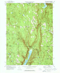
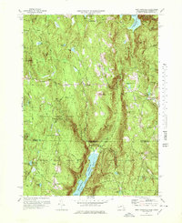
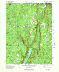
Editions of this 1971 West Granville Map
6 editions found
Other maps of this area

1887 · Granville
USGS Topo · 1:62,500

1888 · Sandisfield
USGS Topo · 1:62,500

1889 · Granville
USGS Topo · 1:62,500

1892 · Winsted
USGS Topo · 1:62,500

1892 · Granby
USGS Topo · 1:62,500

1893 · Granville
USGS Topo · 1:62,500

1893 · Sandisfield
USGS Topo · 1:62,500

1895 · Granville
USGS Topo · 1:62,500

1896 · Holyoke
USGS Topo · 1:125,000

1897 · Sandisfield
USGS Topo · 1:62,500