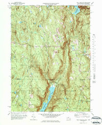
1971 Map of West Granville
USGS Topo · Published 1984About this map
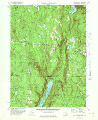
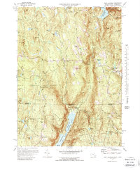
Granville State Forest and Tunxis State Forest dominate this borderland landscape between Hampden County, Massachusetts, and Hartford County, Connecticut. The terrain is defined by its massive water infrastructure, featuring the Barkhamsted Reservoir on the East Branch of the Farmington River, alongside the Cobble Mountain Reservoir and Borden Brook Reservoir. These reservoirs fundamentally altered the local drainage, drowning old valley floors and consolidating land into protected forest blocks. Small settlements like West Granville and Granville Center remain along Main Road, while West Hartland sits just south of the state line. Genealogists can locate the Tolland Cem near the western boundary and the South Quarter Cem further south. The map also records early-1970s recreational and utility features, including the Barber Camp, various campgrounds, and a hilltop Radio Tower.
Find a feature on this map
85 named features on this map. Tap any name to fly to it.
Don’t see what you’re looking for? This feature index may not catch every label — zoom into the map to look around manually.
Map Details
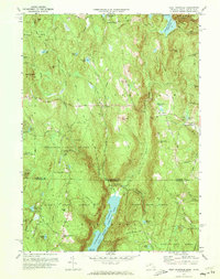
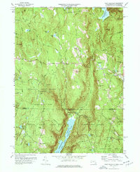
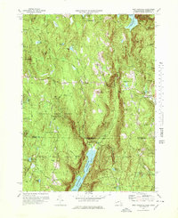
Editions of this 1971 West Granville Map
6 editions found
Other maps of this area

1887 · Granville
USGS Topo · 1:62,500

1888 · Sandisfield
USGS Topo · 1:62,500

1889 · Granville
USGS Topo · 1:62,500

1892 · Winsted
USGS Topo · 1:62,500

1892 · Granby
USGS Topo · 1:62,500

1893 · Granville
USGS Topo · 1:62,500

1893 · Sandisfield
USGS Topo · 1:62,500

1895 · Granville
USGS Topo · 1:62,500

1896 · Holyoke
USGS Topo · 1:125,000

1897 · Sandisfield
USGS Topo · 1:62,500