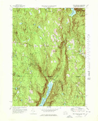
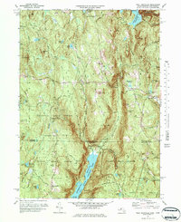
1971 Map of West Granville
USGS Topo · Published 1978About this map
The Massachusetts-Connecticut borderlands take center stage in this 1970s survey, defined by the extensive protected woodlands of Granville State Forest and Tunxis State Forest. These public lands preserve the high, rolling terrain where the Farmington River East Branch flows into the Barkhamsted Reservoir at the southern edge of the sheet. Settled pockets like West Granville and Granville Center are linked by West Granville Road, while the rural crossroads at Baird Four Corners and the small cluster at North Hollow illustrate the historic habitation patterns of the Berkshire foothills.
Find a feature on this map
61 named features on this map. Tap any name to fly to it.
Don’t see what you’re looking for? This feature index may not catch every label — zoom into the map to look around manually.
Map Details
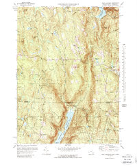
Editions of this 1971 West Granville Map
6 editions found
Other maps of this area

1887 · Granville
USGS Topo · 1:62,500

1888 · Sandisfield
USGS Topo · 1:62,500

1889 · Granville
USGS Topo · 1:62,500

1892 · Winsted
USGS Topo · 1:62,500

1892 · Granby
USGS Topo · 1:62,500

1893 · Granville
USGS Topo · 1:62,500

1893 · Sandisfield
USGS Topo · 1:62,500

1895 · Granville
USGS Topo · 1:62,500

1896 · Holyoke
USGS Topo · 1:125,000

1897 · Sandisfield
USGS Topo · 1:62,500