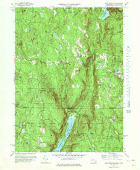
1971 Map of West Granville
USGS Topo · Published 1978About this map
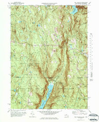
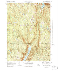
Granville State Forest and Tunxis State Forest dominate the borderlands between Massachusetts and Connecticut, preserving a heavily wooded landscape of ridges and deep brook valleys. This survey, revised from 1970 aerial photography, documents the rural character of the Berkshires' eastern foothills. Significant water management infrastructure is evident through the Borden Brook Reservoir and the Cobble Mountain Reservoir in the northeast, while the southern portion features the Farmington River Reservoir along the Barkhamsted East Branch. Small historic settlements like West Granville and Granville Center are linked by winding roads such as Main Road and Hartland Road, providing a clear record of local transportation patterns. Genealogists will find the locations of Tolland Cem and South Quarter Cem useful for tracing families who settled these highlands. The terrain is marked by distinctive summits such as Winchell Mtn and Bad Luck Mtn, which define the rugged drainage basins of Hubbard Brook and Valley Brook.
Find a feature on this map
59 named features on this map. Tap any name to fly to it.
Don’t see what you’re looking for? This feature index may not catch every label — zoom into the map to look around manually.
Map Details
Editions of this 1971 West Granville Map
6 editions found
Other maps of this area

1887 · Granville
USGS Topo · 1:62,500

1888 · Sandisfield
USGS Topo · 1:62,500

1889 · Granville
USGS Topo · 1:62,500

1892 · Winsted
USGS Topo · 1:62,500

1892 · Granby
USGS Topo · 1:62,500

1893 · Granville
USGS Topo · 1:62,500

1893 · Sandisfield
USGS Topo · 1:62,500

1895 · Granville
USGS Topo · 1:62,500

1896 · Holyoke
USGS Topo · 1:125,000

1897 · Sandisfield
USGS Topo · 1:62,500