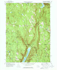
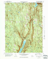
1971 Map of West Granville
USGS Topo · Published 1977About this map
The hills of Granville State Forest and Tunxis State Forest dominate this 1971 study, capturing the rural borderland between Massachusetts and Connecticut. The landscape is defined by substantial water management projects, most notably the Borden Brook Reservoir and the northern reaches of the Barkhamsted Reservoir East Branch. Small crossroads like West Granville and Granville Center provide the primary points of settlement, connected by the Main Road winding through the uplands. Genealogists can locate family resting places at Woodland Cem and Tolland Cem. The terrain is characterized by numerous named peaks such as Prospect Hill and Winchell Mtn, which overlook a network of streams including Ripley Brook and Twining Brook. A prominent Pipeline and Aqueduct Road cutting across the northern sector reflect the region's role in the larger regional water supply infrastructure.
Find a feature on this map
55 named features on this map. Tap any name to fly to it.
Don’t see what you’re looking for? This feature index may not catch every label — zoom into the map to look around manually.
Map Details
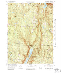
Editions of this 1971 West Granville Map
6 editions found
Other maps of this area

1887 · Granville
USGS Topo · 1:62,500

1888 · Sandisfield
USGS Topo · 1:62,500

1889 · Granville
USGS Topo · 1:62,500

1892 · Winsted
USGS Topo · 1:62,500

1892 · Granby
USGS Topo · 1:62,500

1893 · Granville
USGS Topo · 1:62,500

1893 · Sandisfield
USGS Topo · 1:62,500

1895 · Granville
USGS Topo · 1:62,500

1896 · Holyoke
USGS Topo · 1:125,000

1897 · Sandisfield
USGS Topo · 1:62,500