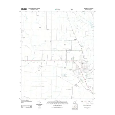
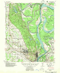
2011 Map of West Helena
USGS Topo · Published 2011About this map
West Helena serves as the primary urban center for this Phillips County landscape, characterized by its dense street grid and the central West Helena Post Office. The surrounding territory is defined by a traditional agricultural layout, where long county roads like Phillips Road 245 and Phillips Road 237 connect small rural hubs such as Southland, Wycamp, and Huma.
Find a feature on this map
74 named features on this map. Tap any name to fly to it.
Don’t see what you’re looking for? This feature index may not catch every label — zoom into the map to look around manually.
Map Details
Editions of this 2011 West Helena Map
This is the sole edition of this map. No revisions or reprints were ever made.
Other maps of this area
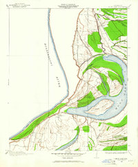
1908 · Moon Lake
USGS Topo · 1:24,000
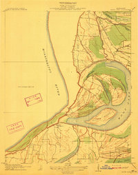
1912 · Moon Lake
USGS Topo · 1:31,680
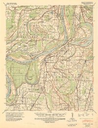
1939 · Farrell
USGS Topo · 1:62,500
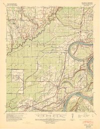
1939 · Modoc
USGS Topo · 1:62,500
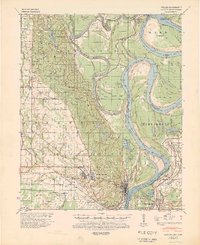
1939 · Latour
USGS Topo · 1:62,500
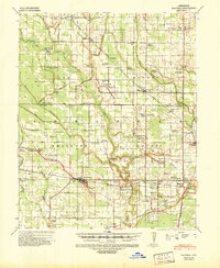
1940 · Marvell
USGS Topo · 1:62,500

1948 · Helena
USGS Topo · 1:250,000
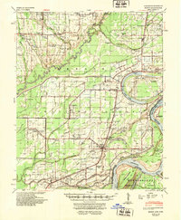
1948 · Modoc
USGS Topo · 1:62,500

1950 · Helena
USGS Topo · 1:250,000
1955 · Latour
USGS Topo · 1:62,500