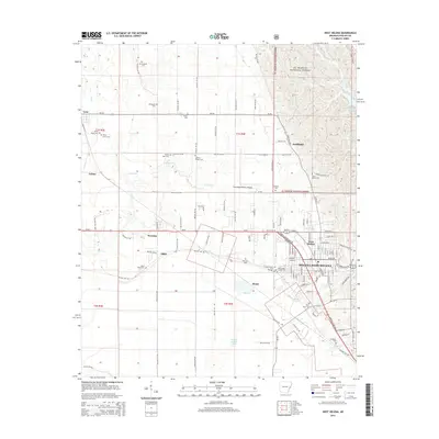
2014 Map of West Helena
USGS Topo · Published 2014About this map
Helena-West Helena anchor the southeastern portion of this landscape, where the urban grid meets the eastern boundary of the St. Francis National Forest. The geography is defined by a transition from the elevated timberlands near Storm Creek Lake to the lower agricultural plains drained by Beaver Bayou Ditch and Caney Creek. This 2014 survey documents the modern footprint of numerous rural communities, including Lexa, Southland, and Wycamp, linked by a network of county roads like Phillips 241 Rd and state routes such as Ar-242.
Find a feature on this map
105 named features on this map. Tap any name to fly to it.
Don’t see what you’re looking for? This feature index may not catch every label — zoom into the map to look around manually.
Map Details
Editions of this 2014 West Helena Map
This is the sole edition of this map. No revisions or reprints were ever made.
Other maps of this area

1908 · Moon Lake
USGS Topo · 1:24,000

1912 · Moon Lake
USGS Topo · 1:31,680

1939 · Farrell
USGS Topo · 1:62,500

1939 · Modoc
USGS Topo · 1:62,500

1939 · Latour
USGS Topo · 1:62,500

1940 · Marvell
USGS Topo · 1:62,500

1948 · Helena
USGS Topo · 1:250,000

1948 · Modoc
USGS Topo · 1:62,500

1950 · Helena
USGS Topo · 1:250,000

1955 · Latour
USGS Topo · 1:62,500