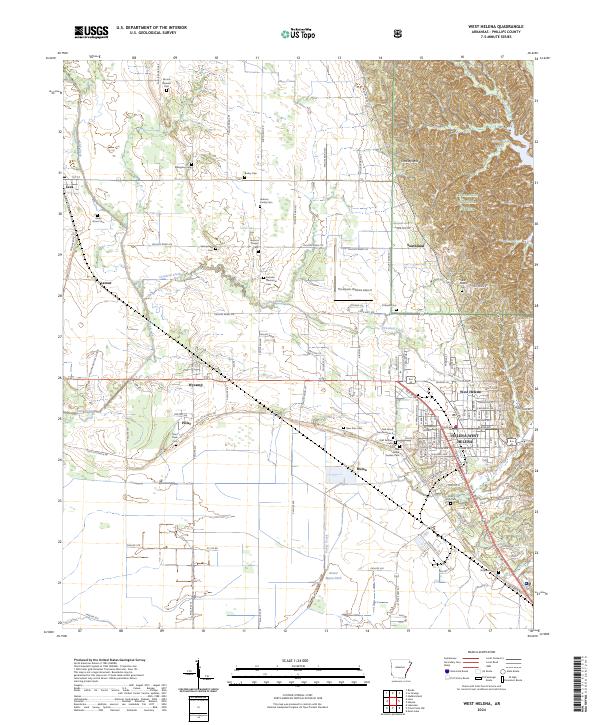
2024 Map of West Helena
USGS Topo · Published 2024About this map
Crowleys Ridge rises above the lowlands of Phillips County, providing a distinct geological backdrop to the sprawling settlements of West Helena and Helena. This landscape is heavily shaped by its water systems, including the channelized Beaver Bayou Ditch and the winding course of Crooked Creek. The eastern portion of the map is dominated by the St Francis National Forest, where the terrain becomes more varied around Storm Creek Lake.
Find a feature on this map
126 named features on this map. Tap any name to fly to it.
Don’t see what you’re looking for? This feature index may not catch every label — zoom into the map to look around manually.
Map Details
Editions of this 2024 West Helena Map
This is the sole edition of this map. No revisions or reprints were ever made.
Other maps of this area

1908 · Moon Lake
USGS Topo · 1:24,000

1912 · Moon Lake
USGS Topo · 1:31,680

1939 · Farrell
USGS Topo · 1:62,500

1939 · Modoc
USGS Topo · 1:62,500

1939 · Latour
USGS Topo · 1:62,500

1940 · Marvell
USGS Topo · 1:62,500

1948 · Helena
USGS Topo · 1:250,000

1948 · Modoc
USGS Topo · 1:62,500

1950 · Helena
USGS Topo · 1:250,000

1955 · Latour
USGS Topo · 1:62,500