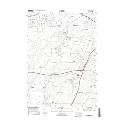
2016 Map of West Henrietta
USGS Topo · Published 2016About this map
The Genesee River and Erie Canal intersect in this 2016 survey of Monroe County, defining the transport and development patterns south of downtown Rochester. This area shows the significant institutional footprint of the Rochester Institute of Technology and the sprawl of the Greater Rochester International Airport. Local history is preserved in numerous burial grounds such as Grove Place Cem and River View Cem, which flank the river near Genesee Junction. The landscape transitions from the urbanized districts of Brighton and Mortimer into more open terrain near Cedar Swamp and Groundhog Hill to the south. Small settlements like West Henrietta, North Rush, and Scottsville maintain their distinct identities amidst the expanding road networks and suburban developments that characterize the modern era in western New York.
Find a feature on this map
189 named features on this map. Tap any name to fly to it.
Don’t see what you’re looking for? This feature index may not catch every label — zoom into the map to look around manually.
Map Details
Editions of this 2016 West Henrietta Map
This is the sole edition of this map. No revisions or reprints were ever made.
Other maps of this area

1895 · Rochester
USGS Topo · 1:62,500

1898 · Rochester
USGS Topo · 1:62,500

1899 · Brockport
USGS Topo · 1:62,500

1901 · Honeoye
USGS Topo · 1:62,500

1904 · Caledonia
USGS Topo · 1:62,500

1904 · Honeoye
USGS Topo · 1:62,500

1912 · Rochester
USGS Topo · 1:62,500

1920 · Rochester
USGS Topo · 1:62,500

1931 · Mendon Ponds
USGS Topo · 1:24,000

1931 · Rochester West
USGS Topo · 1:24,000