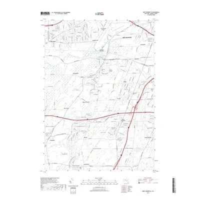
2019 Map of West Henrietta
USGS Topo · Published 2019About this map
The Genesee River carves a winding path through this landscape south of Rochester, defining a region where academic centers, aviation, and historic hamlets converge. The sprawling campus of the Rochester Institute of Technology occupies a central position, while the Greater Rochester International Airport dominates the northern reaches. This modern survey reflects the complex infrastructure of Monroe County, showing the intersection of the historic Erie Canal with contemporary transportation corridors like Paul Rd and Rush Scottsville Rd.
Find a feature on this map
54 named features on this map. Tap any name to fly to it.
Don’t see what you’re looking for? This feature index may not catch every label — zoom into the map to look around manually.
Map Details
Editions of this 2019 West Henrietta Map
This is the sole edition of this map. No revisions or reprints were ever made.
Other maps of this area

1895 · Rochester
USGS Topo · 1:62,500

1898 · Rochester
USGS Topo · 1:62,500

1899 · Brockport
USGS Topo · 1:62,500

1901 · Honeoye
USGS Topo · 1:62,500

1904 · Caledonia
USGS Topo · 1:62,500

1904 · Honeoye
USGS Topo · 1:62,500

1912 · Rochester
USGS Topo · 1:62,500

1920 · Rochester
USGS Topo · 1:62,500

1931 · Mendon Ponds
USGS Topo · 1:24,000

1931 · Rochester West
USGS Topo · 1:24,000