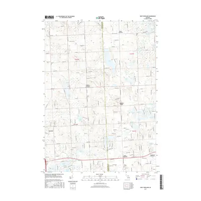
2017 Map of West Highland
USGS Topo · Published 2017About this map
Tipsico Lake and the surrounding marshy lowlands of the Oakland-Livingston county line define this glacial landscape in the late 2010s. The map illustrates a network of small residential settlements and rural crossroads, including Rose Corners, Hallers Corners, and Hickory Ridge. For genealogists and local historians, several burial grounds are preserved across the quadrangle, such as Beebe Cem and Gardner Cem. The terrain is characterized by a high density of water bodies, from the larger Buckhorn Lake to smaller basins like Ester Lake and Handy Lake. The settlement patterns at West Highland and Hartland show the modern progression of these historically rural communities, connected by a dense grid of local roads like Denton Hill Rd and Hickory Ridge Rd.
Find a feature on this map
164 named features on this map. Tap any name to fly to it.
Don’t see what you’re looking for? This feature index may not catch every label — zoom into the map to look around manually.
Map Details
Editions of this 2017 West Highland Map
This is the sole edition of this map. No revisions or reprints were ever made.
Other maps of this area

1907 · Howell
USGS Topo · 1:62,500

1909 · Howell
USGS Topo · 1:62,500

1909 · Milford
USGS Topo · 1:62,500

1920 · Holly
USGS Topo · 1:62,500

1922 · Holly
USGS Topo · 1:62,500

1922 · Durand
USGS Topo · 1:62,500

1936 · Wixom
USGS Topo · 1:31,680

1936 · Highland
USGS Topo · 1:31,680

1942 · Highland
USGS Topo · 1:24,000

1943 · Holly
USGS Topo · 1:62,500
Featured Places
- Highland Charter Township, MI
- Hartland Township, MI
- Tyrone Township, MI
- Rose Corners, MI
- Hickory Ridge, Highland Charter Township