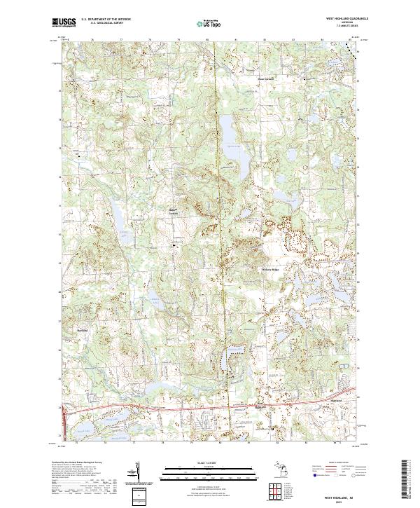
2023 Map of West Highland
USGS Topo · Published 2023About this map
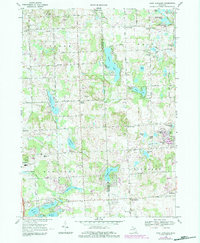
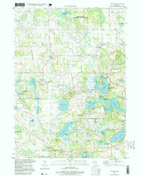
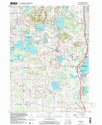
Livingston and Oakland counties meet in this lakeside landscape, defined by a dense network of glacial basins and small unincorporated settlements. The area around Highland and West Highland shows a transition from structured township grids to the irregular shorelines of Dunham Lake and Tipsico Lake. Small crossroads communities like Rose Corners and Hallers Corners anchor the rural northern sections, while the presence of historic burial grounds such as Beebe Cem and Hodge Cem provides critical points of interest for genealogical research.
Find a feature on this map
111 named features on this map. Tap any name to fly to it.
Don’t see what you’re looking for? This feature index may not catch every label — zoom into the map to look around manually.
Map Details
Editions of this 2023 West Highland Map
This is the sole edition of this map. No revisions or reprints were ever made.
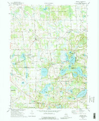
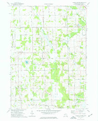
Historical Maps of Rose Corners Through Time
14 maps found
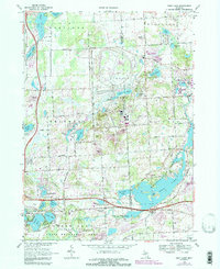
1965 Hamburg
Livingston County, MI
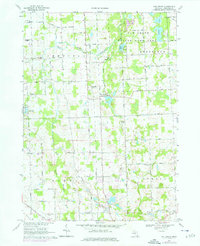
1968 Kent Lake
Livingston County, MI
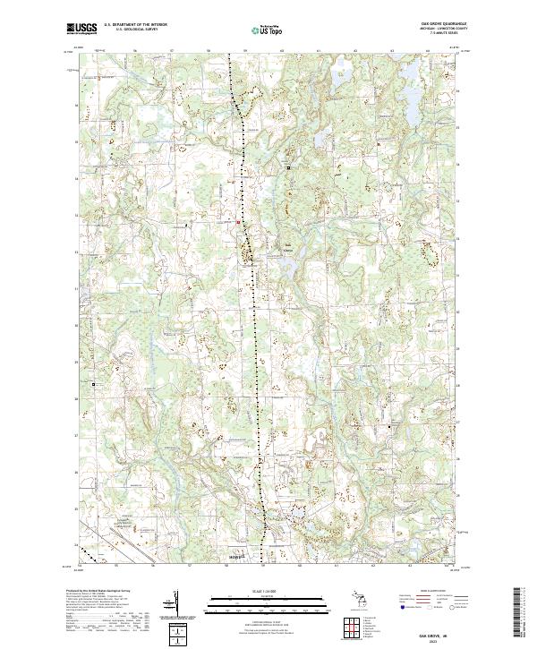
1968 Oak Grove
Livingston County, MI
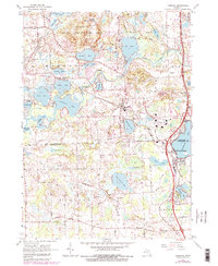
1968 West Highland
Livingston County, MI
1973 Gregory
Livingston County, MI
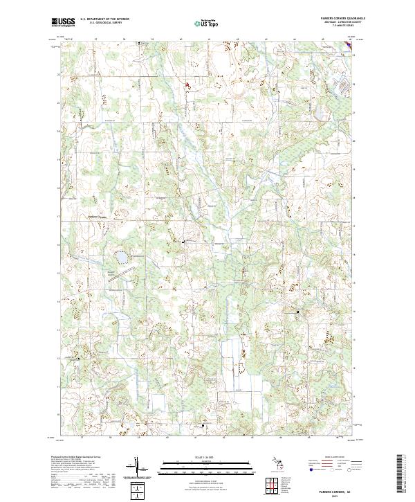
1973 Parkers Corners
Livingston County, MI
1996 Gregory
Livingston County, MI
1996 Hamburg
Livingston County, MI
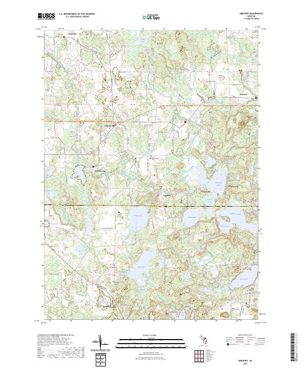
2023 Gregory
Livingston County, MI
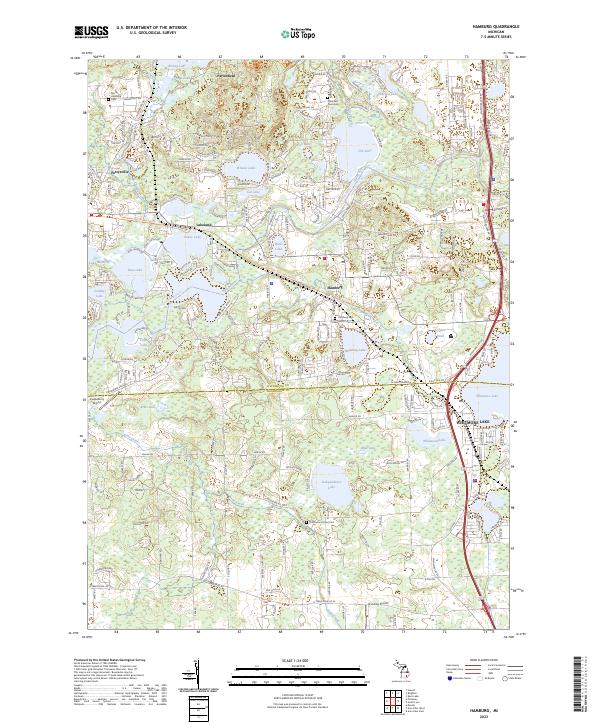
2023 Hamburg
Livingston County, MI
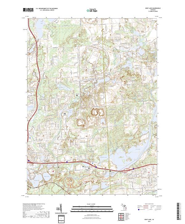
2023 Kent Lake
Livingston County, MI
2023 Oak Grove
Livingston County, MI
2023 Parkers Corners
Livingston County, MI
2023 West Highland
Livingston County, MI
Featured Locations
- Highland Charter Township, MI
- Rose Township, MI
- Hartland Township, MI
- Tyrone Township, MI
- Rose Corners, Rose Township