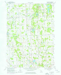
1968 Map of Oak Grove
USGS Topo · Published 1976About this map
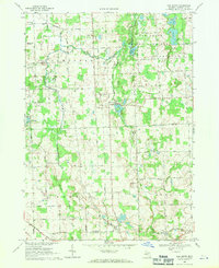
The South Branch Shiawassee River meanders through this portion of Livingston County, defining a landscape of agricultural drainage and lowland marshes. At the heart of the sheet lies Oak Grove, a settlement positioned near the confluence of Bogue Creek and the river, while the community of Cohoctah marks the northwestern corner. The map captures a moment of transition where traditional farmsteads and rural infrastructure meet newer developments like the Livingston County Airport and the Nazarene Campground.
Find a feature on this map
56 named features on this map. Tap any name to fly to it.
Don’t see what you’re looking for? This feature index may not catch every label — zoom into the map to look around manually.
Map Details
Editions of this 1968 Oak Grove Map
2 editions found
Other maps of this area

1907 · Howell
USGS Topo · 1:62,500

1908 · Fowlerville
USGS Topo · 1:62,500

1909 · Howell
USGS Topo · 1:62,500

1910 · Fowlerville
USGS Topo · 1:62,500

1922 · Durand
USGS Topo · 1:62,500

1926 · Corunna
USGS Topo · 1:62,500

1929 · Corunna
USGS Topo · 1:62,500

1943 · Durand
USGS Topo · 1:62,500

1944 · Corunna
USGS Topo · 1:62,500

1954 · Detroit
USGS Topo · 1:250,000