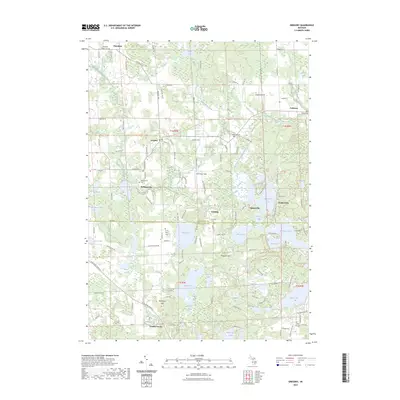
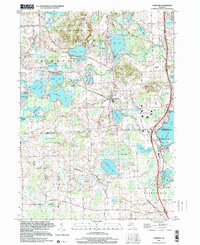
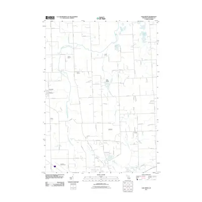
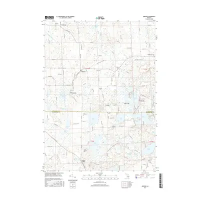
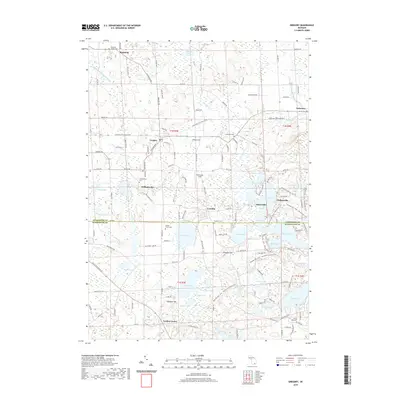
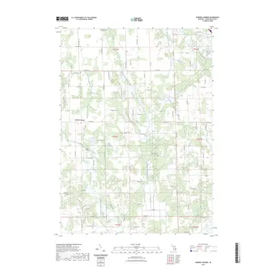
2023 Map of Gregory
USGS Topo · Published 2023About this map
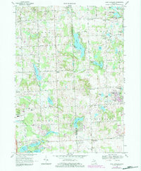
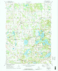
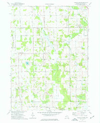
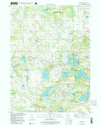
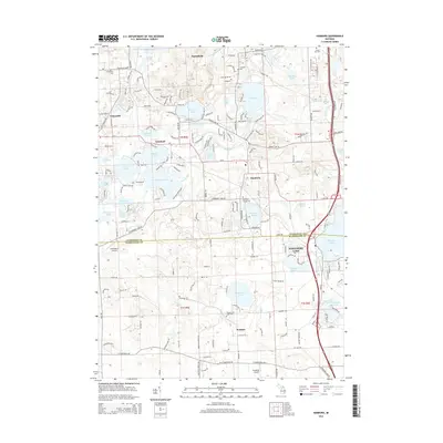
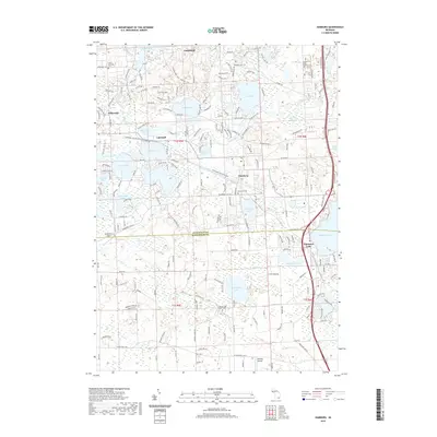
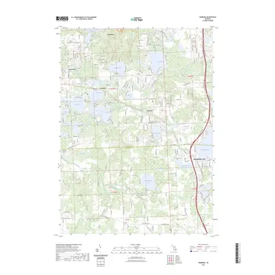
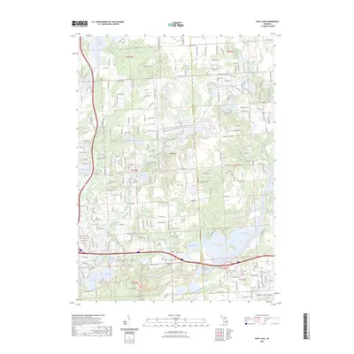
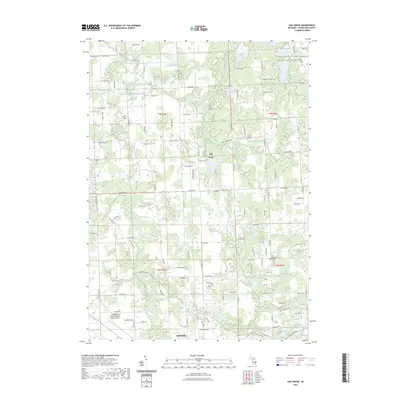
Plainfield and Gregory anchor this landscape along the border of Livingston and Washtenaw counties, where a dense network of glacial lakes and wetlands defines the terrain. The map reveals a high concentration of burial grounds, from the Plainfield Village Cem in the north to the North Lake Cem at the southern edge, suggesting long-established rural communities. The path of the Lakelands Trail State Park cuts across the center, following a former rail alignment through settlements like Williamsville and Gregory. To the south, the Pinckney Rec Area encompasses a chain of water bodies including Bruin Lake, Blind Lake, and Halfmoon Lake. Significant elevations like Prospect Hill and Shanahan Hill rise above the drainage systems of Portage Creek and Livermore Creek, while specialized landmarks like Richmond Field and the small hamlets of Kaiserville and Chalkerville dot the rural road grid.
Find a feature on this map
134 named features on this map. Tap any name to fly to it.
Don’t see what you’re looking for? This feature index may not catch every label — zoom into the map to look around manually.
Map Details
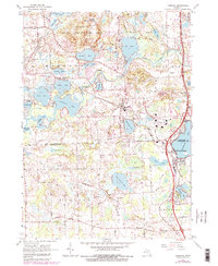
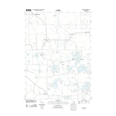
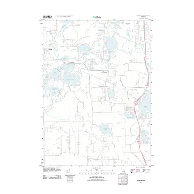
Editions of this 2023 Gregory Map
This is the sole edition of this map. No revisions or reprints were ever made.
Historical Maps of Putnam Township Through Time
38 maps found
1965 Hamburg
Livingston County, MI
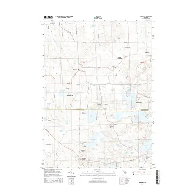
1968 Kent Lake
Livingston County, MI
1968 Oak Grove
Livingston County, MI
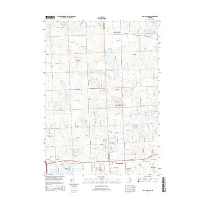
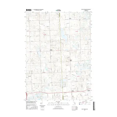
1968 West Highland
Livingston County, MI
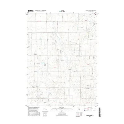
1973 Gregory
Livingston County, MI
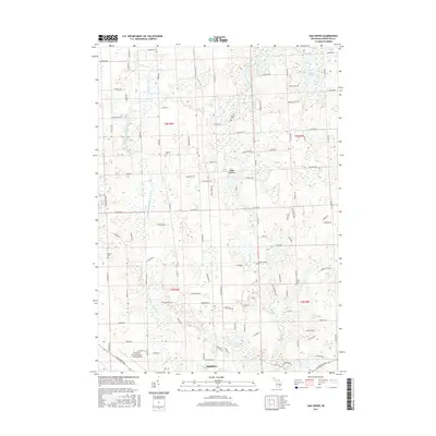
1973 Parkers Corners
Livingston County, MI
1996 Gregory
Livingston County, MI
1996 Hamburg
Livingston County, MI
2011 Gregory
Livingston County, MI
2011 Hamburg
Livingston County, MI
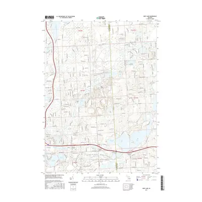
2011 Kent Lake
Livingston County, MI
2011 Oak Grove
Livingston County, MI
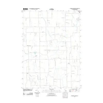
2011 Parkers Corners
Livingston County, MI
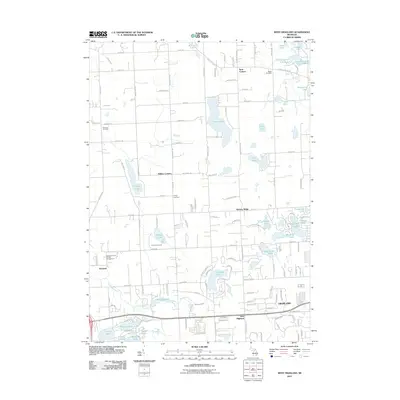
2011 West Highland
Livingston County, MI
2014 Gregory
Livingston County, MI
2014 Hamburg
Livingston County, MI
2014 Kent Lake
Livingston County, MI
2014 Oak Grove
Livingston County, MI
2014 Parkers Corners
Livingston County, MI
2014 West Highland
Livingston County, MI
2017 Gregory
Livingston County, MI
2017 Hamburg
Livingston County, MI
2017 Kent Lake
Livingston County, MI
2017 Oak Grove
Livingston County, MI
2017 Parkers Corners
Livingston County, MI
2017 West Highland
Livingston County, MI
2019 Gregory
Livingston County, MI
2019 Hamburg
Livingston County, MI
2019 Kent Lake
Livingston County, MI
2019 Oak Grove
Livingston County, MI
2019 Parkers Corners
Livingston County, MI
2019 West Highland
Livingston County, MI
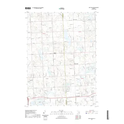
2023 Gregory
Livingston County, MI
2023 Hamburg
Livingston County, MI
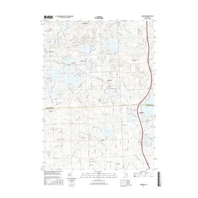
2023 Kent Lake
Livingston County, MI
2023 Oak Grove
Livingston County, MI
2023 Parkers Corners
Livingston County, MI
2023 West Highland
Livingston County, MI
Featured Locations
- Dexter Township, MI
- Lyndon Township, MI
- Putnam Township, MI
- Unadilla Township, MI
- Unadilla, Unadilla Township