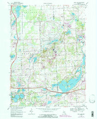
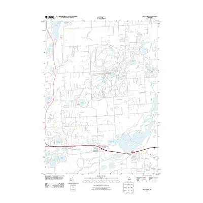
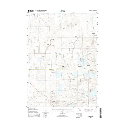
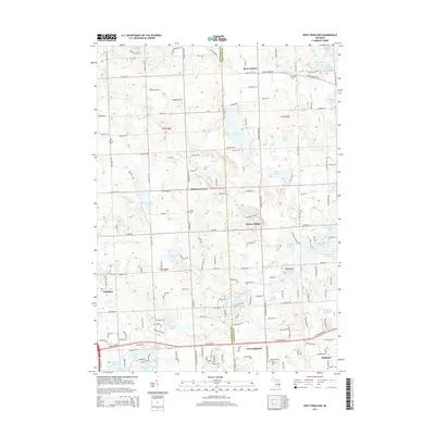
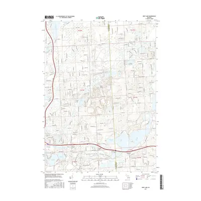
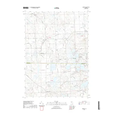
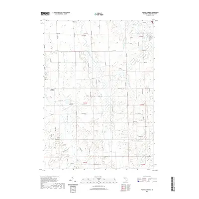
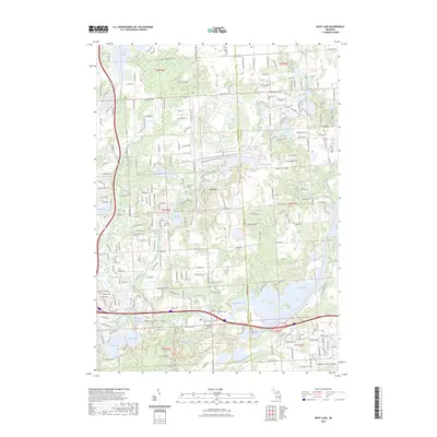
1968 Map of West Highland
USGS Topo · Published 1984About this map
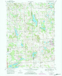
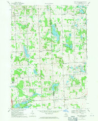
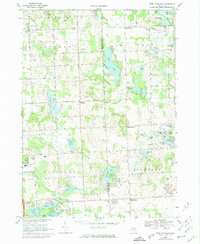
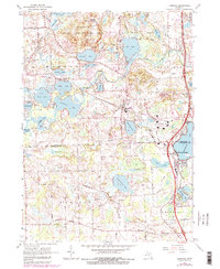
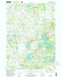
Glacial topography and numerous kettle lakes define the boundary between Livingston and Oakland counties in this detailed survey. Small agricultural and residential nodes such as Tyrone Center, Rose Corners, and West Highland anchor the landscape, connected by a network of established roads like Germany Rd and Faussett Rd. The presence of the Summit Ski Club and the YMCA Camp near Fish Lake illustrates the region's transition into a recreational destination for nearby metropolitan areas during the late 1960s. Local history is well-preserved through several family and community landmarks, including the Gardner Cem and Hodge Cem. The hydrology of the area is particularly complex, featuring chains of water bodies from Tipsico Lake to the Hartland Millpond and Dunham Lake, highlighting the natural drainage patterns of Ore Creek before significant modern suburban expansion altered the local character.
Find a feature on this map
70 named features on this map. Tap any name to fly to it.
Don’t see what you’re looking for? This feature index may not catch every label — zoom into the map to look around manually.
Map Details
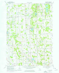
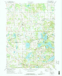
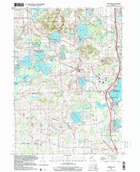
Editions of this 1968 West Highland Map
3 editions found
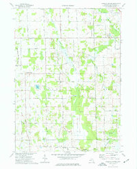
Historical Maps of Highland Charter Township Through Time
38 maps found
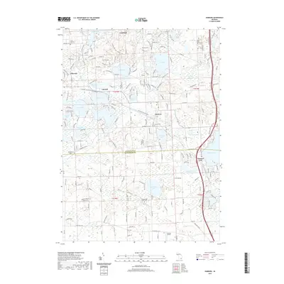
1965 Hamburg
Livingston County, MI
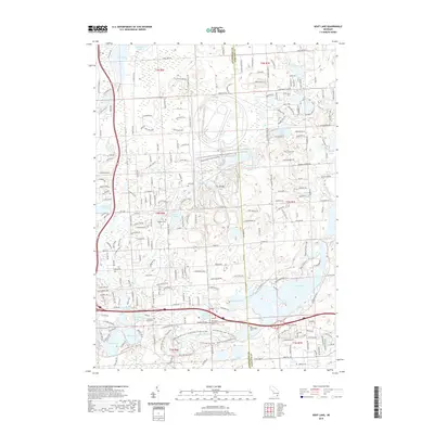
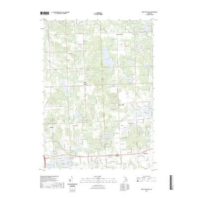
1968 Kent Lake
Livingston County, MI
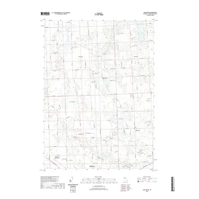
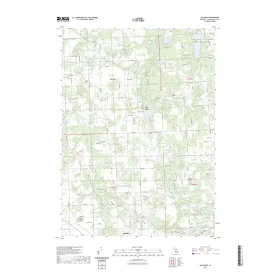
1968 Oak Grove
Livingston County, MI
1968 West Highland
Livingston County, MI
1973 Gregory
Livingston County, MI
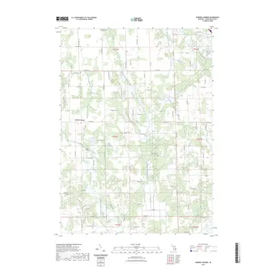
1973 Parkers Corners
Livingston County, MI
1996 Gregory
Livingston County, MI
1996 Hamburg
Livingston County, MI
2011 Gregory
Livingston County, MI
2011 Hamburg
Livingston County, MI
2011 Kent Lake
Livingston County, MI
2011 Oak Grove
Livingston County, MI
2011 Parkers Corners
Livingston County, MI
2011 West Highland
Livingston County, MI
2014 Gregory
Livingston County, MI
2014 Hamburg
Livingston County, MI
2014 Kent Lake
Livingston County, MI
2014 Oak Grove
Livingston County, MI
2014 Parkers Corners
Livingston County, MI
2014 West Highland
Livingston County, MI
2017 Gregory
Livingston County, MI
2017 Hamburg
Livingston County, MI
2017 Kent Lake
Livingston County, MI
2017 Oak Grove
Livingston County, MI
2017 Parkers Corners
Livingston County, MI
2017 West Highland
Livingston County, MI
2019 Gregory
Livingston County, MI
2019 Hamburg
Livingston County, MI
2019 Kent Lake
Livingston County, MI
2019 Oak Grove
Livingston County, MI
2019 Parkers Corners
Livingston County, MI
2019 West Highland
Livingston County, MI
2023 Gregory
Livingston County, MI
2023 Hamburg
Livingston County, MI
2023 Kent Lake
Livingston County, MI
2023 Oak Grove
Livingston County, MI
2023 Parkers Corners
Livingston County, MI
2023 West Highland
Livingston County, MI
Featured Locations
- Highland Charter Township, MI
- Rose Township, MI
- Hartland Township, MI
- Tyrone Township, MI
- Hickory Ridge, Highland Charter Township