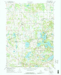
1973 Map of Gregory
USGS Topo · Published 1989About this map
The glacial landscape of the Livingston and Washtenaw county border is defined by an extensive network of kettle lakes and wetlands in the early 1970s. This survey highlights the agricultural and recreational character of the region, anchored by the settlements of Gregory and Unadilla. The presence of the Old Railroad Grade running through the northern half of the map marks the path of former rail transit that once connected small hubs like Anderson and Bullis Crossing.
Find a feature on this map
88 named features on this map. Tap any name to fly to it.
Don’t see what you’re looking for? This feature index may not catch every label — zoom into the map to look around manually.
Map Details
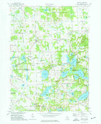
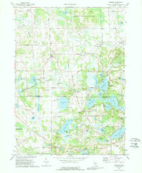
Editions of this 1973 Gregory Map
3 editions found
Other maps of this area

1902 · Dexter
USGS Topo · 1:62,500

1904 · Ann Arbor
USGS Topo · 1:125,000

1906 · Dexter
USGS Topo · 1:62,500

1907 · Howell
USGS Topo · 1:62,500

1908 · Ann Arbor
USGS Topo · 1:125,000

1908 · Fowlerville
USGS Topo · 1:62,500

1909 · Howell
USGS Topo · 1:62,500

1910 · Fowlerville
USGS Topo · 1:62,500

1919 · Stockbridge
USGS Topo · 1:62,500

1922 · Stockbridge
USGS Topo · 1:62,500
Featured Places
- Putnam Township, MI
- Dexter Township, MI
- Unadilla, Unadilla Township
- Unadilla Township, MI
- Lyndon Township, MI