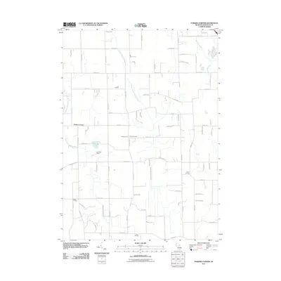
2011 Map of Parkers Corners
USGS Topo · Published 2011About this map
Parkers Corners serves as the focal point for this agrarian landscape in Livingston County, where the hydrology is defined by the branching network of the Red Cedar River. The West Branch Red Cedar River and Middle Branch Red Cedar River meander through the terrain, punctuated by small bodies of water like Lamoreaux Lake. This 2011 survey reveals a settlement pattern heavily reliant on a grid of rural roads, such as Gregory Rd and Coon Lake Rd, which connect scattered homesteads and small family-named landmarks.
Find a feature on this map
76 named features on this map. Tap any name to fly to it.
Don’t see what you’re looking for? This feature index may not catch every label — zoom into the map to look around manually.
Map Details
Editions of this 2011 Parkers Corners Map
This is the sole edition of this map. No revisions or reprints were ever made.
Other maps of this area

1902 · Dexter
USGS Topo · 1:62,500

1904 · Ann Arbor
USGS Topo · 1:125,000

1906 · Dexter
USGS Topo · 1:62,500

1907 · Howell
USGS Topo · 1:62,500

1908 · Ann Arbor
USGS Topo · 1:125,000

1908 · Fowlerville
USGS Topo · 1:62,500

1909 · Howell
USGS Topo · 1:62,500

1910 · Fowlerville
USGS Topo · 1:62,500

1919 · Stockbridge
USGS Topo · 1:62,500

1922 · Stockbridge
USGS Topo · 1:62,500