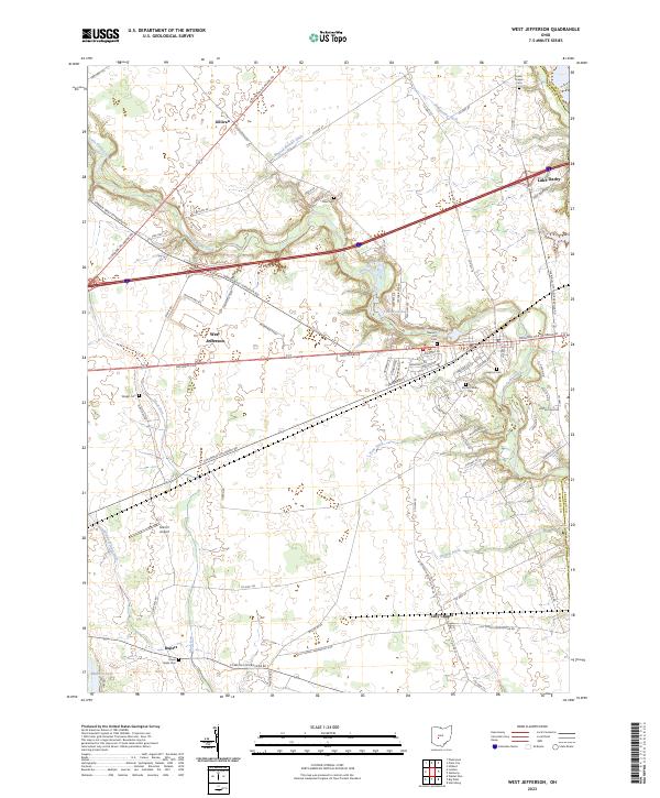
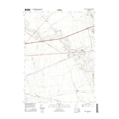
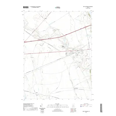
2023 Map of West Jefferson
USGS Topo · Published 2023About this map
West Jefferson and the surrounding Madison County countryside are defined by a complex network of agricultural drainage and small-town expansion. The landscape is crisscrossed by historic routes like the National Pike and the Columbus Cincinnati Rd, which intersect the growing residential developments near Lake Darby. Along the winding course of Little Darby Creek, the terrain transitions from open fields to wooded riparian zones, hiding several small family and community burial grounds such as Blair Cem and Foster Chapel Cem.
Find a feature on this map
81 named features on this map. Tap any name to fly to it.
Don’t see what you’re looking for? This feature index may not catch every label — zoom into the map to look around manually.
Map Details
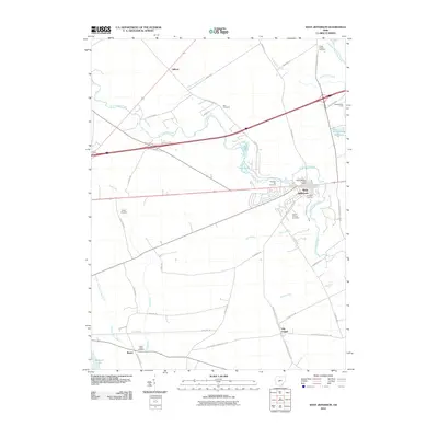
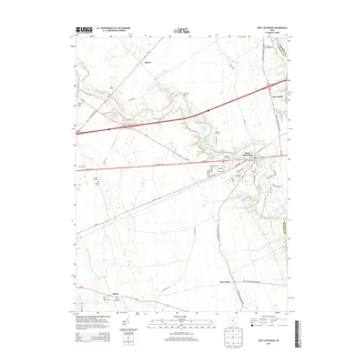
Editions of this 2023 West Jefferson Map
This is the sole edition of this map. No revisions or reprints were ever made.
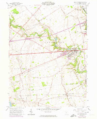
Historical Maps of West Jefferson Through Time
6 maps found
Featured Locations
- Union Township, OH
- West Jefferson, OH
- Deer Creek Township, OH
- Fairfield Township, OH
- Monroe Township, OH