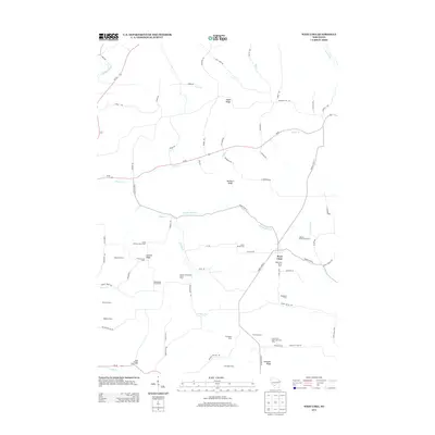
2013 Map of West Lima
USGS Topo · Published 2013About this map
West Lima serves as the central hub of this agricultural landscape in Vernon County, characterized by a high concentration of named historic farmsteads and stock operations. The map documents the persistent agricultural heritage of the region, from the Booher Homestead Stock Farm to the Great Western Stock Farm. The terrain is defined by a series of prominent ridges including Maple Ridge, Newburn Ridge, and Summit Ridge, which dictate the winding paths of the local road network.
Find a feature on this map
83 named features on this map. Tap any name to fly to it.
Don’t see what you’re looking for? This feature index may not catch every label — zoom into the map to look around manually.
Map Details
Editions of this 2013 West Lima Map
This is the sole edition of this map. No revisions or reprints were ever made.
Other maps of this area

1905 · Richland Center
USGS Topo · 1:125,000

1926 · La Farge
USGS Topo · 1:62,500

1927 · Hillsboro
USGS Topo · 1:62,500

1933 · Boaz
USGS Topo · 1:62,500

1958 · La Crosse
USGS Topo · 1:250,000

1960 · Richland Center
USGS Topo · 1:62,500

1961 · La Crosse
USGS Topo · 1:250,000

1965 · La Crosse
USGS Topo · 1:250,000

1965 · La Farge
USGS Topo · 1:62,500

1966 · Hillsboro
USGS Topo · 1:62,500