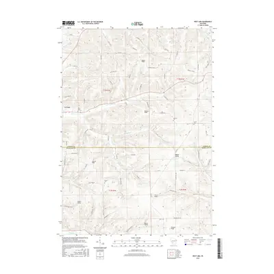
2016 Map of West Lima
USGS Topo · Published 2016About this map
La Farge sits at the northwestern edge of this 2016 survey, where the Kickapoo River flows through the dissected landscape of the Driftless Area. The terrain is defined by a series of prominent high points, including Maple Ridge, Newburn Ridge, Summit Ridge, and Pleasant Ridge, which dictate the winding paths of the local road network. Settlement patterns follow these ridges and the narrow valleys below, such as Welker Hollow and Button Hollow. Small rural communities like West Lima and Cherry Valley are documented alongside numerous family-named cemeteries. Genealogists may find value in the placement of Bear Creek Cem, Newburn Cem, Vernon Cem, and Booher Cem, which serve as lasting markers of the area's agricultural history. The complex drainage system includes Bear Cr, Middle Bear Cr, and Goose Cr, all feeding the regional river network.
Find a feature on this map
78 named features on this map. Tap any name to fly to it.
Don’t see what you’re looking for? This feature index may not catch every label — zoom into the map to look around manually.
Map Details
Editions of this 2016 West Lima Map
This is the sole edition of this map. No revisions or reprints were ever made.
Other maps of this area

1905 · Richland Center
USGS Topo · 1:125,000

1926 · La Farge
USGS Topo · 1:62,500

1927 · Hillsboro
USGS Topo · 1:62,500

1933 · Boaz
USGS Topo · 1:62,500

1958 · La Crosse
USGS Topo · 1:250,000

1960 · Richland Center
USGS Topo · 1:62,500

1961 · La Crosse
USGS Topo · 1:250,000

1965 · La Crosse
USGS Topo · 1:250,000

1965 · La Farge
USGS Topo · 1:62,500

1966 · Hillsboro
USGS Topo · 1:62,500