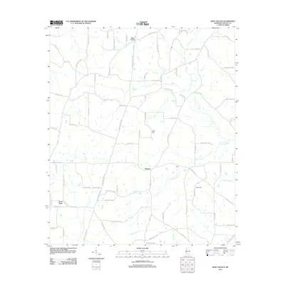
2012 Map of West Lincoln
USGS Topo · Published 2012About this map
Arlington and West Lincoln anchor this portion of Lincoln County, defined by a network of rural routes and winding waterways in the early 21st century. The landscape is carved by numerous drainages, most notably Sassers Mill Cr and Big Cr, which flow through a territory marked by small settlements like Moak and Hoppy Field. Local history and genealogy are anchored at the Mount Zion Cem, situated near the center of the survey. The road network reflects a mixture of old family-named ways and modern designations, including Jackson Liberty Dr SW and Strawberry Ln SW. This record captures the area just south of the Brookhaven vicinity, showing the distribution of homesteads and the persistence of place names like Center Point amidst the piney woods and creek bottoms.
Find a feature on this map
78 named features on this map. Tap any name to fly to it.
Don’t see what you’re looking for? This feature index may not catch every label — zoom into the map to look around manually.
Map Details
Editions of this 2012 West Lincoln Map
This is the sole edition of this map. No revisions or reprints were ever made.
Other maps of this area

1953 · Natchez
USGS Topo · 1:250,000

1956 · Natchez
USGS Topo · 1:250,000

1959 · Natchez
USGS Topo · 1:250,000

1972 · West Lincoln
USGS Topo · 1:24,000

1972 · Smithdale
USGS Topo · 1:24,000

1972 · McCall Creek
USGS Topo · 1:24,000

1972 · Little Springs
USGS Topo · 1:24,000

1972 · Auburn
USGS Topo · 1:24,000

1972 · Bogue Chitto
USGS Topo · 1:24,000

1972 · Brookhaven
USGS Topo · 1:24,000