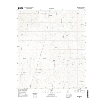
2015 Map of West Lincoln
USGS Topo · Published 2015About this map
West Lincoln and Arlington anchor this western Lincoln County landscape, where a dense network of local roads and creek systems defines the rural geography. The terrain is deeply carved by drainage ways like Hurricane Cr and Panter Cr, which flow through various townships including t6n r6e and t5n r7e. Small community centers such as Center Point serve as local hubs for residents connected by family-named routes like Mc Caffery Trl SW and Butler Ln SW. For those researching local history, the placement of Mount Zion Cem and Moak Cem provides specific points for genealogical mapping. The map also captures the legacy of early industry and water power along Sassers Mill Cr, illustrating how the hydrology of the Bogue Chitto River basin shaped the placement of farms and homesteads.
Find a feature on this map
74 named features on this map. Tap any name to fly to it.
Don’t see what you’re looking for? This feature index may not catch every label — zoom into the map to look around manually.
Map Details
Editions of this 2015 West Lincoln Map
This is the sole edition of this map. No revisions or reprints were ever made.
Other maps of this area

1953 · Natchez
USGS Topo · 1:250,000

1956 · Natchez
USGS Topo · 1:250,000

1959 · Natchez
USGS Topo · 1:250,000

1972 · West Lincoln
USGS Topo · 1:24,000

1972 · Smithdale
USGS Topo · 1:24,000

1972 · McCall Creek
USGS Topo · 1:24,000

1972 · Little Springs
USGS Topo · 1:24,000

1972 · Auburn
USGS Topo · 1:24,000

1972 · Bogue Chitto
USGS Topo · 1:24,000

1972 · Brookhaven
USGS Topo · 1:24,000