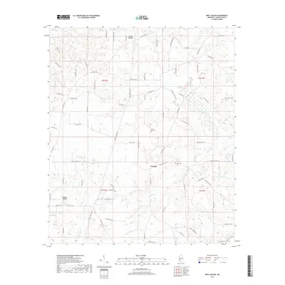
2018 Map of West Lincoln
USGS Topo · Published 2018About this map
West Lincoln and the rural crossroads of Arlington anchor this portion of Lincoln County, characterized by a dendritic network of streams and winding country lanes. The landscape is defined by the drainage basins of Big Cr and Sassers Mill Cr, which carve through the terrain as they flow toward larger water systems. Notable for family historians, the area is dotted with local burial sites including Mount Zion Cem, Moak Cem, and Montgomery Cem in the southeastern corner.
Find a feature on this map
75 named features on this map. Tap any name to fly to it.
Don’t see what you’re looking for? This feature index may not catch every label — zoom into the map to look around manually.
Map Details
Editions of this 2018 West Lincoln Map
This is the sole edition of this map. No revisions or reprints were ever made.
Other maps of this area

1953 · Natchez
USGS Topo · 1:250,000

1956 · Natchez
USGS Topo · 1:250,000

1959 · Natchez
USGS Topo · 1:250,000

1972 · West Lincoln
USGS Topo · 1:24,000

1972 · Smithdale
USGS Topo · 1:24,000

1972 · McCall Creek
USGS Topo · 1:24,000

1972 · Little Springs
USGS Topo · 1:24,000

1972 · Auburn
USGS Topo · 1:24,000

1972 · Bogue Chitto
USGS Topo · 1:24,000

1972 · Brookhaven
USGS Topo · 1:24,000