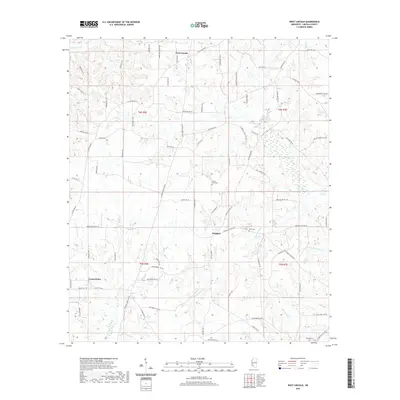
2020 Map of West Lincoln
USGS Topo · Published 2020About this map
The Bogue Chitto River and its numerous tributaries, including Sassers Mill Cr and Allbritton Cr, define the drainage and topography of this Lincoln County landscape. As of 2020, the rural character of the area remains centered around small historic settlements like Arlington, West Lincoln, and Center Point. Local history and genealogy are anchored by several burial grounds, such as Mount Zion Cem, Moak Cem, and Montgomery Cem. The road network, including family-named routes like Roberts Ln SW and Butler Ln SW, reflects a long-standing pattern of rural landholdings and farmsteads. The southern reaches of the map show the winding course of the Bogue Chitto River as it flows through the timbered terrain, while the northern sections are crisscrossed by smaller streams like Hurricane Cr and Pinter Cr.
Find a feature on this map
82 named features on this map. Tap any name to fly to it.
Don’t see what you’re looking for? This feature index may not catch every label — zoom into the map to look around manually.
Map Details
Editions of this 2020 West Lincoln Map
This is the sole edition of this map. No revisions or reprints were ever made.
Other maps of this area

1953 · Natchez
USGS Topo · 1:250,000

1956 · Natchez
USGS Topo · 1:250,000

1959 · Natchez
USGS Topo · 1:250,000

1972 · West Lincoln
USGS Topo · 1:24,000

1972 · Smithdale
USGS Topo · 1:24,000

1972 · McCall Creek
USGS Topo · 1:24,000

1972 · Little Springs
USGS Topo · 1:24,000

1972 · Auburn
USGS Topo · 1:24,000

1972 · Bogue Chitto
USGS Topo · 1:24,000

1972 · Brookhaven
USGS Topo · 1:24,000