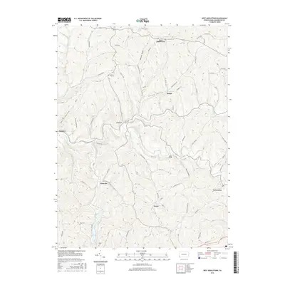
2016 Map of West Middletown
USGS Topo · Published 2016About this map
West Middletown and the surrounding Independence Township highlands are defined by a network of winding ridgetop roads and deeply incised stream valleys. This 2016 survey highlights a landscape where local history is anchored by names like Acheson, Budaville, and Taylorstown. The topography is carved by numerous waterways including Buffalo Creek and Hanes Run, which flow through hollows like Jolley Hollow and Opossum Hollow.
Find a feature on this map
62 named features on this map. Tap any name to fly to it.
Don’t see what you’re looking for? This feature index may not catch every label — zoom into the map to look around manually.
Map Details
Editions of this 2016 West Middletown Map
This is the sole edition of this map. No revisions or reprints were ever made.
Other maps of this area

1902 · Wheeling
USGS Topo · 1:62,500

1904 · Steubenville
USGS Topo · 1:62,500

1904 · Burgettstown
USGS Topo · 1:62,500

1906 · Burgettstown
USGS Topo · 1:62,500

1907 · Claysville
USGS Topo · 1:62,500

1935 · Wheeling
USGS Topo · 1:62,500

1935 · Steubenville
USGS Topo · 1:62,500

1942 · Wheeling
USGS Topo · 1:62,500

1942 · Steubenville
USGS Topo · 1:62,500

1951 · Canton
USGS Topo · 1:250,000
Featured Places
- Independence Township, PA
- West Middletown, PA
- Donegal Township, PA
- Blaine Township, PA
- Budaville, Donegal Township