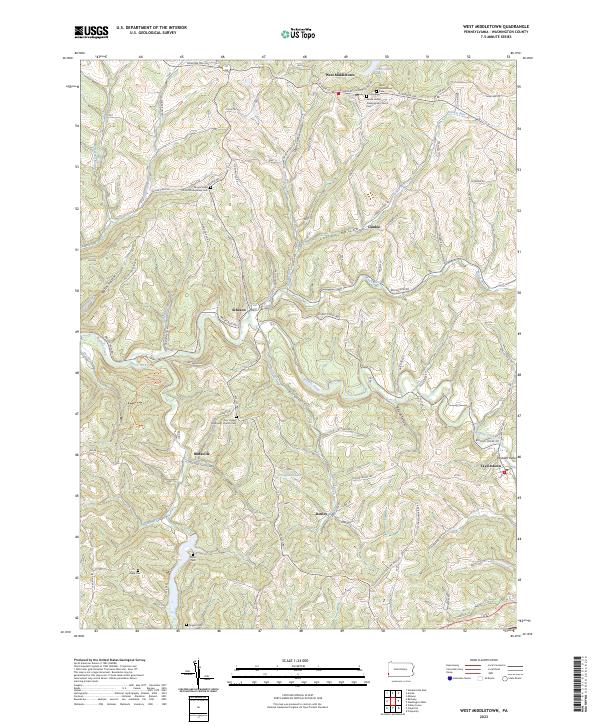
2023 Map of West Middletown
USGS Topo · Published 2023About this map
West Middletown and the surrounding Washington County countryside are defined by a network of winding hollows and ridge-top settlements. The landscape is etched with historical markers of early community life, particularly in its high density of family and congregational burial grounds such as Miller Cem, Hupp Cem, and the Rogers Cem. Religious foundations are prominent, anchored by the Grove United Presbyterian Church and the Zion United Methodist Church Cem.
Find a feature on this map
85 named features on this map. Tap any name to fly to it.
Don’t see what you’re looking for? This feature index may not catch every label — zoom into the map to look around manually.
Map Details
Editions of this 2023 West Middletown Map
This is the sole edition of this map. No revisions or reprints were ever made.
Other maps of this area

1902 · Wheeling
USGS Topo · 1:62,500
1904 · Steubenville
USGS Topo · 1:62,500

1904 · Burgettstown
USGS Topo · 1:62,500

1906 · Burgettstown
USGS Topo · 1:62,500

1907 · Claysville
USGS Topo · 1:62,500

1935 · Wheeling
USGS Topo · 1:62,500
1935 · Steubenville
USGS Topo · 1:62,500

1942 · Wheeling
USGS Topo · 1:62,500
1942 · Steubenville
USGS Topo · 1:62,500

1951 · Canton
USGS Topo · 1:250,000
Featured Places
- Independence Township, PA
- West Middletown, PA
- Blaine Township, PA
- Buffalo Township, PA
- Budaville, Donegal Township