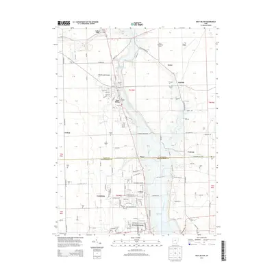
2013 Map of West Milton
USGS Topo · Published 2013About this map
The Stillwater River carves a winding path through this western Ohio landscape, anchoring a corridor of historical development and family heritage. The river's influence is evident at the West Milton Low Head Reservoir and the northern settlement of Ludlow Falls, where Ludlow Creek meets the main channel. This territory, straddling the Miami Co and Montgomery Co line, reveals a deeply rooted rural community evidenced by numerous family and community burial grounds like Vore Cem, Honeyman Cem, and the Old Milton Cem.
Find a feature on this map
115 named features on this map. Tap any name to fly to it.
Don’t see what you’re looking for? This feature index may not catch every label — zoom into the map to look around manually.
Map Details
Editions of this 2013 West Milton Map
This is the sole edition of this map. No revisions or reprints were ever made.
Other maps of this area

1904 · Dayton
USGS Topo · 1:62,500

1905 · Brookville
USGS Topo · 1:62,500

1906 · Dayton
USGS Topo · 1:62,500

1911 · Covington
USGS Topo · 1:62,500

1914 · Troy
USGS Topo · 1:62,500

1944 · Covington
USGS Topo · 1:62,500

1944 · Troy
USGS Topo · 1:62,500

1953 · Cincinnati
USGS Topo · 1:250,000

1953 · Muncie
USGS Topo · 1:250,000

1955 · West Milton
USGS Topo · 1:24,000